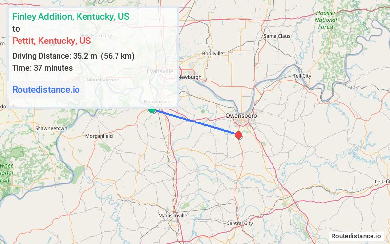
Distance from Finley Addition, Kentucky to Pettit, Kentucky
Finley Addition
Pettit
Total Distance
35.2 mi
(56.7 km)
Travel Time
37 minutes
The driving distance from Finley Addition, Kentucky to Pettit, Kentucky is 35.2 mi (56.7 km)
The straight-line (air) distance is approximately 17.2 mi (27.8 km)
Estimated travel time by road is 37 minutes
Route Directions
Get on US-41 N from US-41 ALT S and KY-425 E
4.9 mi
8 min
Take KY-9005/Audubon Pkwy to US-431 S/Frederica St in Daviess County. Take exit 14 from US-60
27.5 mi
24 min
Follow US-431 S/Frederica St to W Pettit Rd
2.8 mi
5 min
Journey Details
Traveling from Finley Addition, Kentucky to Pettit, Kentucky covers 35.2 miles (57 km) in a east direction. This mixed highways and local roads, moderate route typically takes 37 minutes under normal conditions.
Journey Waypoints
Finley Addition
Starting Point
Pettit
Destination
Route Map Image