Distance to Rome, Kentucky

Calculating Your Route
Just a moment while we process your request...
Location Information
-
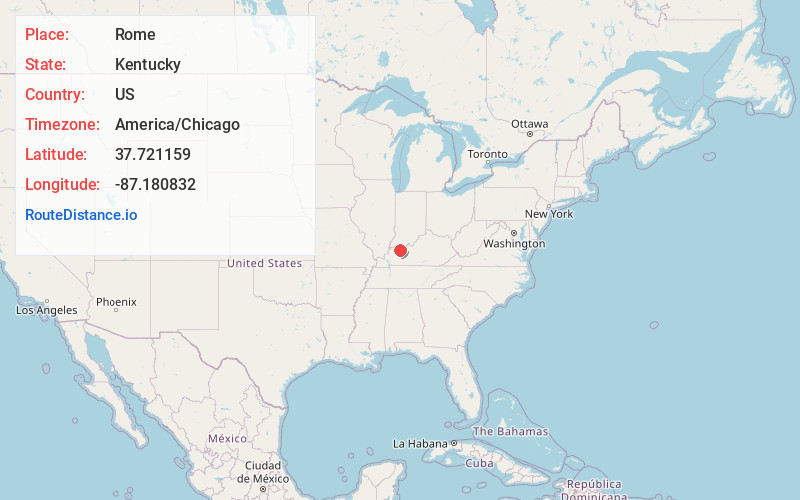
Full AddressRome, KY 42301
-
Coordinates37.7211585, -87.1808315
-
LocationKentucky , US
-
TimezoneAmerica/Chicago
-
Current Local Time11:26:05 AM America/ChicagoFriday, June 20, 2025
-
Page Views0
About Rome
Rome is an unincorporated community in Daviess County, Kentucky, United States. It was also known as Clearys Grocery. Rome is also referred to as a subdivision located on Highway 81 just southwest of Owensboro.
Athey's Chapel Cemetery is located here.

Nearby Places
Found 10 places within 50 miles

Moseleyville
4.1 mi
6.6 km
Moseleyville, KY 42301
Get directions

Owensboro
4.9 mi
7.9 km
Owensboro, KY
Get directions

West Louisville
6.0 mi
9.7 km
West Louisville, KY 42301
Get directions
Browns Valley
6.5 mi
10.5 km
Browns Valley, KY 42376
Get directions
Griffith
6.7 mi
10.8 km
Griffith, KY 42301
Get directions
Birk City
7.2 mi
11.6 km
Birk City, KY 42301
Get directions
Dermont
7.8 mi
12.6 km
Dermont, KY 42303
Get directions
Stanley
7.9 mi
12.7 km
Stanley, KY 42301
Get directions

St Joseph
8.1 mi
13.0 km
St Joseph, KY 42301
Get directions
Curdsville
8.3 mi
13.4 km
Curdsville, KY 42301
Get directions
Location Links
Local Weather
Weather Information
Coming soon!
Location Map
Static map view of Rome, Kentucky
Browse Places by Distance
Places within specific distances from Rome
Short Distances
Long Distances
Click any distance to see all places within that range from Rome. Distances shown in miles (1 mile ≈ 1.61 kilometers).