Distance to St Joseph, Kentucky

Calculating Your Route
Just a moment while we process your request...
Location Information
-
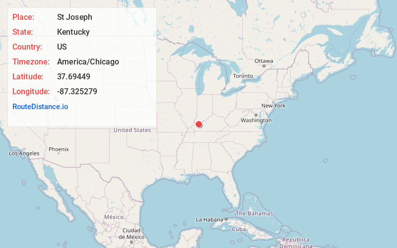
Full AddressSt Joseph, KY 42301
-
Coordinates37.6944901, -87.3252794
-
LocationSt Joseph , Kentucky , US
-
TimezoneAmerica/Chicago
-
Current Local Time12:10:05 AM America/ChicagoFriday, June 20, 2025
-
Page Views0
About St Joseph
Saint Joseph is an unincorporated community located in Daviess County, Kentucky, United States. It is located around the intersection of Kentucky Route 56 and Kentucky Route 500.

Nearby Places
Found 10 places within 50 miles

Stanley
10.0 mi
16.1 km
Stanley, KY 42301
Get directions

Calhoun
11.4 mi
18.3 km
Calhoun, KY 42327
Get directions

Robards
12.2 mi
19.6 km
Robards, KY 42452
Get directions
Anthoston
12.5 mi
20.1 km
Anthoston, KY 42420
Get directions

Owensboro
12.7 mi
20.4 km
Owensboro, KY
Get directions

Sebree
12.7 mi
20.4 km
Sebree, KY 42455
Get directions

Utica
13.2 mi
21.2 km
Utica, KY 42376
Get directions
Hatfield
15.4 mi
24.8 km
Hatfield, IN 47634
Get directions
Masonville
15.9 mi
25.6 km
Masonville, KY 42376
Get directions

Livermore
17.5 mi
28.2 km
Livermore, KY
Get directions
Location Links
Local Weather
Weather Information
Coming soon!
Location Map
Static map view of St Joseph, Kentucky
Browse Places by Distance
Places within specific distances from St Joseph
Short Distances
Long Distances
Click any distance to see all places within that range from St Joseph. Distances shown in miles (1 mile ≈ 1.61 kilometers).