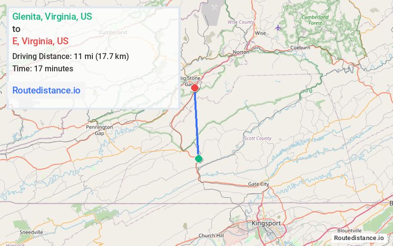
Distance from Glenita, Virginia to E, Virginia
Glenita
E
Total Distance
19 mi
(30.6 km)
Travel Time
24 minutes
The driving distance from Glenita, Virginia to E, Virginia is 19 mi (30.6 km)
The straight-line (air) distance is approximately 6.8 mi (11 km)
Estimated travel time by road is 24 minutes
Route Directions
0.9 mi
1 min
Follow US-23 N to US-23 BUS N/Gilley Ave E in Wise County. Take the exit toward US-23 N/US-58 W from US-23 N
15.9 mi
16 min
Continue on Gilley Ave E to your destination in Big Stone Gap
2.2 mi
6 min
Journey Details
Traveling from Glenita, Virginia to E, Virginia covers 19 miles (31 km) in a north direction. This mixed highways and local roads, moderate route typically takes 24 minutes under normal conditions.
Journey Waypoints
Glenita
Starting Point
E
Destination
Route Map Image