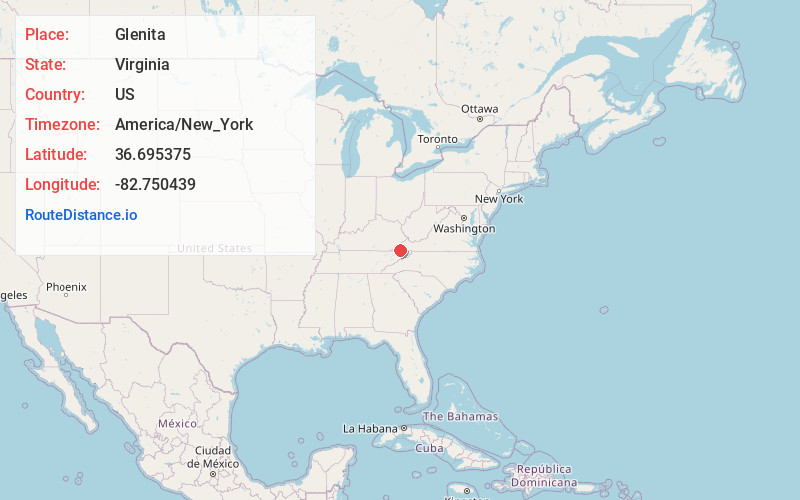
Distance to Glenita, Virginia

Calculating Your Route
Just a moment while we process your request...
Location Information
-
Full AddressGlenita, VA 24244
-
Coordinates36.695375, -82.7504385
-
LocationVirginia , US
-
TimezoneAmerica/New_York
-
Current Local Time2:26:49 AM America/New_YorkTuesday, July 1, 2025
-
Page Views0
Nearby Places
Found 10 places within 50 miles

Clinchport
1.3 mi
2.1 km
Clinchport, VA 24244
Get directions

Duffield
3.0 mi
4.8 km
Duffield, VA 24244
Get directions
Rhoton Mill
5.2 mi
8.4 km
Rhoton Mill, VA 24251
Get directions
Tito
5.6 mi
9.0 km
Tito, VA 24244
Get directions
Okolona
7.9 mi
12.7 km
Okolona, TN 37642
Get directions
Long Hollow
9.4 mi
15.1 km
Long Hollow, Tennessee 37642
Get directions

Gate City
10.2 mi
16.4 km
Gate City, VA
Get directions
E
11.0 mi
17.7 km
E, Big Stone Gap, VA 24219
Get directions

Mt Carmel
11.5 mi
18.5 km
Mt Carmel, TN
Get directions

Weber City
11.6 mi
18.7 km
Weber City, VA
Get directions
Location Links
Local Weather
Weather Information
Coming soon!
Location Map
Static map view of Glenita, Virginia
Browse Places by Distance
Places within specific distances from Glenita
Short Distances
Long Distances
Click any distance to see all places within that range from Glenita. Distances shown in miles (1 mile ≈ 1.61 kilometers).