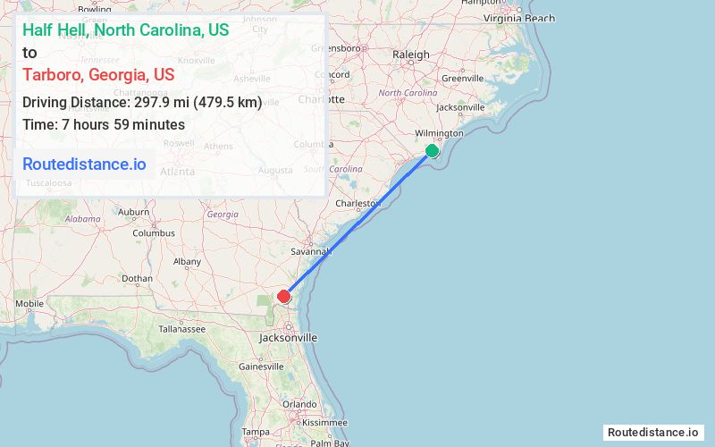
Distance from Half Hell, North Carolina to Tarboro, Georgia
The driving distance from Half Hell, North Carolina to Tarboro, Georgia is 399.4 mi (642.8 km)
The straight-line (air) distance is approximately 185.1 mi (297.9 km)
Estimated travel time by road is 5 hours 47 minutes
We found 2 routes between Half Hell and Tarboro.
Available Routes
Route Directions
Get on US-74 W in Columbus County from NC-211
Take I-95 S to Dover Bluff Rd in Camden County. Take exit 26 from I-95 S
Take US-17 S to GA-252 W
Route Directions
Get on SC-22 W in Longs from US-17 S and State Hwy 57 N
Follow SC-22 W to US-501 N. Take the US-501 N exit from SC-22 W
Get on I-95 S in Gable from US-378 W
Follow I-95 S to Dover Bluff Rd in Camden County. Take exit 26 from I-95 S
Take US-17 S to GA-252 W
Journey Details
Traveling from Half Hell, North Carolina to Tarboro, Georgia covers 371 miles (597 km) in a southwest direction. This fast highway, long-distance route typically takes 5 hours 50 minutes under normal conditions.
Drivers have 2 route options between these locations (371-399 miles / 597-643 km). The primary route shown here saves no time compared to alternatives.
The route features scenic views. During night weekday travel, expect minimal traffic congestion with average speeds around 67 mph (108 km/h) .
Journey Waypoints
Half Hell
Starting Point
Tarboro
Destination
Route Map Image