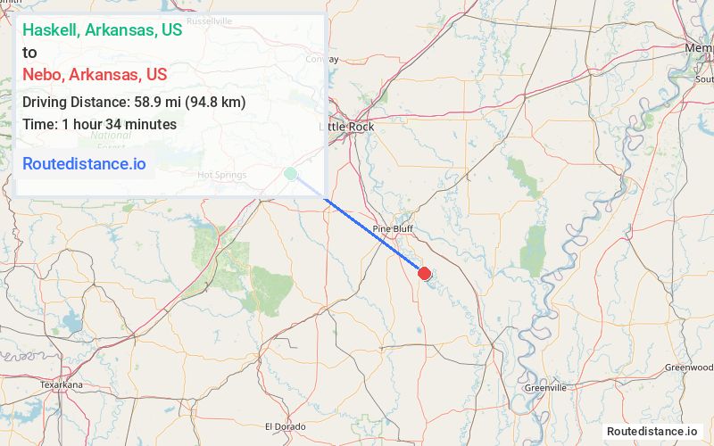
Distance from Haskell, Arkansas to Nebo, Arkansas
The driving distance from Haskell, Arkansas to Nebo, Arkansas is 92.2 mi (148.4 km)
The straight-line (air) distance is approximately 36.6 mi (58.9 km)
Estimated travel time by road is 1 hour 24 minutes
We found 3 routes between Haskell and Nebo.
Available Routes
Route Directions
Get on I-30 E in Benton
Follow I-30 E and I-530 S to US-425 S/US-65 in Pine Bluff
Drive to US-425 S in Lincoln County
Route Directions
Take AR-229 S to US-270 E/E 3rd St in Poyen
Continue on US-270 E. Drive to US-425 S in Lincoln County
Route Directions
Take Grand Ave and AR-35 S to US-270 E/E Center St in Sheridan
Follow US-270 E and I-530 S to US-425 S in Lincoln County
Journey Details
Traveling from Haskell, Arkansas to Nebo, Arkansas covers 72.7 miles (117 km) in a southeast direction. This mixed highways and local roads, substantial route typically takes 1 hour 26 minutes under normal conditions.
Drivers have 3 route options between these locations (73-92 miles / 117-148 km). The primary route shown here saves 3 minutes compared to alternatives.
Journey Waypoints
Haskell
Starting Point
Nebo
Destination
Route Map Image