Distance to Sheridan, Arkansas

Calculating Your Route
Just a moment while we process your request...
Location Information
-
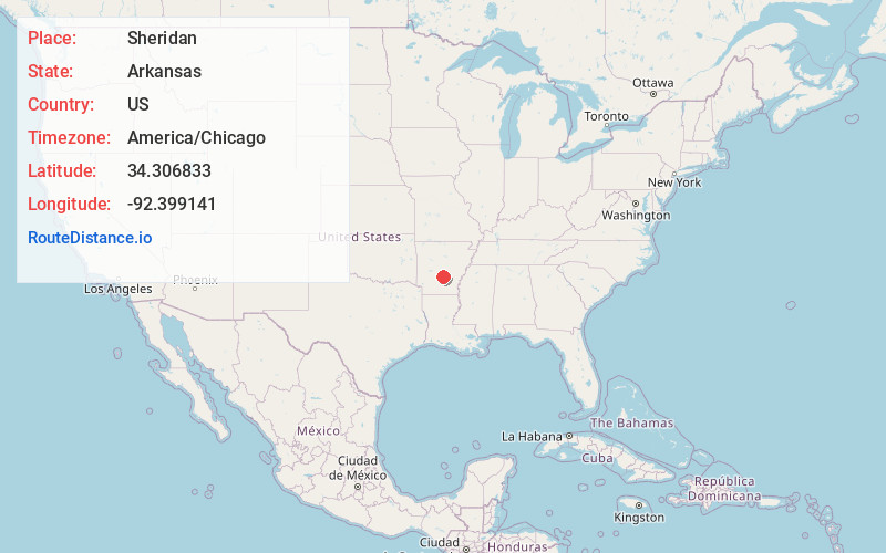
Full AddressSheridan, AR 72150
-
Coordinates34.3068334, -92.3991409
-
LocationSheridan , Arkansas , US
-
TimezoneAmerica/Chicago
-
Current Local Time1:52:55 AM America/ChicagoThursday, June 19, 2025
-
Page Views0
About Sheridan
Sheridan, officially the City of Sheridan, is a city in and the county seat of Grant County, Arkansas, United States. The community is located deep in the forests of the Arkansas Timberlands. It sits at the intersection of U.S. highways 167 and 270.


Nearby Places
Found 10 places within 50 miles

East End
17.2 mi
27.7 km
East End, AR
Get directions

White Hall
17.8 mi
28.6 km
White Hall, AR 71602
Get directions

Benton
21.0 mi
33.8 km
Benton, AR
Get directions

Bryant
22.7 mi
36.5 km
Bryant, AR
Get directions

Pine Bluff
23.3 mi
37.5 km
Pine Bluff, AR
Get directions

Malvern
23.9 mi
38.5 km
Malvern, AR 72104
Get directions

Little Rock
30.9 mi
49.7 km
Little Rock, AR
Get directions

Sherwood
38.2 mi
61.5 km
Sherwood, AR
Get directions

Maumelle
38.9 mi
62.6 km
Maumelle, AR
Get directions

Arkadelphia
39.5 mi
63.6 km
Arkadelphia, AR 71923
Get directions
Location Links
Local Weather
Weather Information
Coming soon!
Location Map
Static map view of Sheridan, Arkansas
Browse Places by Distance
Places within specific distances from Sheridan
Short Distances
Long Distances
Click any distance to see all places within that range from Sheridan. Distances shown in miles (1 mile ≈ 1.61 kilometers).