Distance to Malvern, Arkansas

Calculating Your Route
Just a moment while we process your request...
Location Information
-
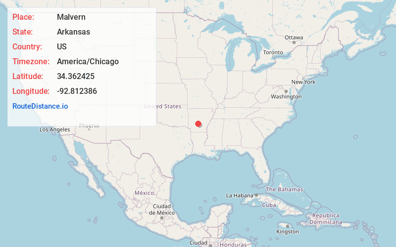
Full AddressMalvern, AR 72104
-
Coordinates34.3624245, -92.8123856
-
LocationMalvern , Arkansas , US
-
TimezoneAmerica/Chicago
-
Current Local Time11:59:21 AM America/ChicagoThursday, June 19, 2025
-
Page Views0
About Malvern
Malvern is a city in and the county seat of Hot Spring County, Arkansas, United States. Founded as a railroad stop at the eastern edge of the Ouachita Mountains, the community's history and economy have been tied to available agricultural and mineral resources.


Nearby Places
Found 7 places within 50 miles

Hot Springs
17.1 mi
27.5 km
Hot Springs, AR
Get directions

Benton
19.3 mi
31.1 km
Benton, AR
Get directions

Bryant
25.4 mi
40.9 km
Bryant, AR
Get directions

Little Rock
39.8 mi
64.1 km
Little Rock, AR
Get directions

Maumelle
42.3 mi
68.1 km
Maumelle, AR
Get directions

Pine Bluff
47.1 mi
75.8 km
Pine Bluff, AR
Get directions

Sherwood
48.0 mi
77.2 km
Sherwood, AR
Get directions
Location Links
Local Weather
Weather Information
Coming soon!
Location Map
Static map view of Malvern, Arkansas
Browse Places by Distance
Places within specific distances from Malvern
Short Distances
Long Distances
Click any distance to see all places within that range from Malvern. Distances shown in miles (1 mile ≈ 1.61 kilometers).