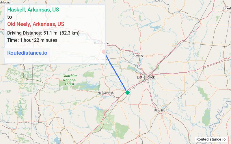
Distance from Haskell, Arkansas to Old Neely, Arkansas
The driving distance from Haskell, Arkansas to Old Neely, Arkansas is 84.3 mi (135.7 km)
The straight-line (air) distance is approximately 31.8 mi (51.1 km)
Estimated travel time by road is 1 hour 46 minutes
We found 3 routes between Haskell and Old Neely.
Available Routes
Route Directions
Take US-70 W, AR-128 W and AR 7 N to AR-155 in Yell County
Route Directions
Get on I-30 E in Benton
Continue on I-30 E. Take I-40 W to AR-363 S in Pottsville. Take exit 88 from I-40 W
Take AR-247 N to AR-155 in Yell County
Route Directions
Take AR-5, AR-9 N and AR-10 W to AR-324 N in Perry County
Continue on AR-324 N. Take State Hwy 247 to AR-154 W in Conway County
Journey Details
Traveling from Haskell, Arkansas to Old Neely, Arkansas covers 79.5 miles (128 km) in a northwest direction. This mixed highways and local roads, substantial route typically takes 1 hour 39 minutes under normal conditions.
Drivers have 3 route options between these locations (79-108 miles / 128-174 km). The primary route shown here saves 8 minutes compared to alternatives.
Journey Waypoints
Haskell
Starting Point
Old Neely
Destination
Route Map Image