Distance to Satuma, Arkansas

Calculating Your Route
Just a moment while we process your request...
Location Information
-
Full AddressSatuma, AR 72126
-
Coordinates34.9025896, -92.8593366
-
LocationArkansas , US
-
TimezoneAmerica/Chicago
-
Current Local Time8:45:52 PM America/ChicagoThursday, June 19, 2025
-
Page Views0
Nearby Places
Found 10 places within 50 miles

Perryville
7.8 mi
12.6 km
Perryville, AR 72126
Get directions

Adona
9.6 mi
15.4 km
Adona, AR 72001
Get directions

Perry
10.8 mi
17.4 km
Perry, AR
Get directions

Houston
13.0 mi
20.9 km
Houston, AR 72070
Get directions
Casa
13.5 mi
21.7 km
Casa, AR 72025
Get directions
Bigelow
14.6 mi
23.5 km
Bigelow, AR 72016
Get directions
Oppelo
14.7 mi
23.7 km
Oppelo, AR 72110
Get directions
Fourche
15.0 mi
24.1 km
Fourche, AR 72016
Get directions
Riverview
15.3 mi
24.6 km
Riverview, AR 72110
Get directions
Northpoint
18.0 mi
29.0 km
Northpoint, AR 72135
Get directions
Location Links
Local Weather
Weather Information
Coming soon!
Location Map
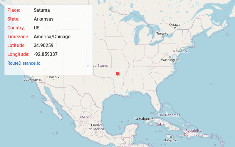
Static map view of Satuma, Arkansas
Browse Places by Distance
Places within specific distances from Satuma
Short Distances
Long Distances
Click any distance to see all places within that range from Satuma. Distances shown in miles (1 mile ≈ 1.61 kilometers).