Distance to Bigelow, Arkansas

Calculating Your Route
Just a moment while we process your request...
Location Information
-
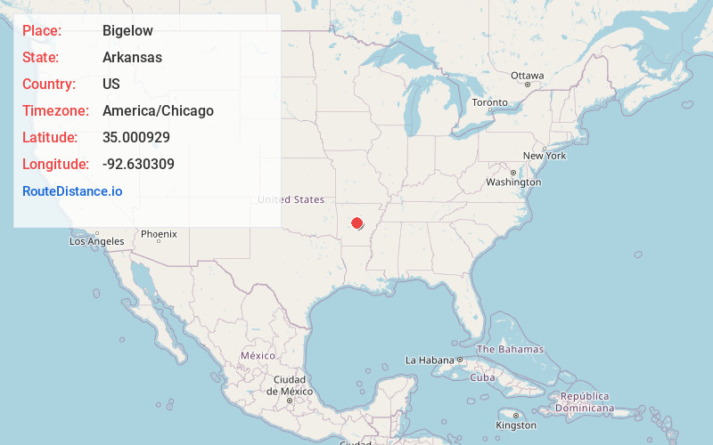
Full AddressBigelow, AR 72016
-
Coordinates35.000929, -92.6303085
-
LocationBigelow , Arkansas , US
-
TimezoneAmerica/Chicago
-
Current Local Time9:19:27 AM America/ChicagoFriday, June 20, 2025
-
Page Views0
About Bigelow
Bigelow is a town in Perry County, Arkansas, United States. Located in Central Arkansas near the confluence of the Fourche La Fave River and Arkansas River, the community was incorporated in 1905 as Esau. Based largely on the timber industry, the town grew until the lumber mills were closed in 1920.
Nearby Places
Found 10 places within 50 miles

Perryville
9.7 mi
15.6 km
Perryville, AR 72126
Get directions

Roland
10.2 mi
16.4 km
Roland, AR 72135
Get directions

Oppelo
10.4 mi
16.7 km
Oppelo, AR 72110
Get directions
Plumerville
11.0 mi
17.7 km
Plumerville, AR 72127
Get directions

Mayflower
11.9 mi
19.2 km
Mayflower, AR
Get directions

Morrilton
12.3 mi
19.8 km
Morrilton, AR 72110
Get directions

Conway
12.6 mi
20.3 km
Conway, AR
Get directions
Natural Steps
13.0 mi
20.9 km
Natural Steps, AR 72135
Get directions

Maumelle
16.0 mi
25.7 km
Maumelle, AR
Get directions

Wooster
17.0 mi
27.4 km
Wooster, AR
Get directions
Location Links
Local Weather
Weather Information
Coming soon!
Location Map
Static map view of Bigelow, Arkansas
Browse Places by Distance
Places within specific distances from Bigelow
Short Distances
Long Distances
Click any distance to see all places within that range from Bigelow. Distances shown in miles (1 mile ≈ 1.61 kilometers).