Distance to Perryville, Arkansas

Calculating Your Route
Just a moment while we process your request...
Location Information
-
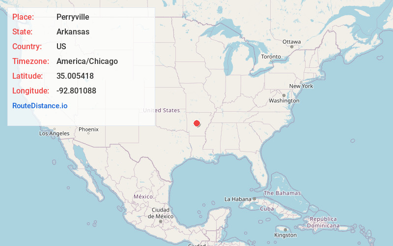
Full AddressPerryville, AR 72126
-
Coordinates35.0054175, -92.8010876
-
LocationPerryville , Arkansas , US
-
TimezoneAmerica/Chicago
-
Current Local Time11:39:17 PM America/ChicagoSaturday, May 31, 2025
-
Page Views0
About Perryville
Perryville is a city in and the county seat of Perry County, Arkansas, United States. The population was 1,460 at the 2010 census, an increase of just two persons from 2000. It is part of the Little Rock–North Little Rock–Conway Metropolitan Statistical Area.


Nearby Places
Found 10 places within 50 miles

Morrilton
10.7 mi
17.2 km
Morrilton, AR 72110
Get directions

Atkins
18.1 mi
29.1 km
Atkins, AR
Get directions

Mayflower
21.4 mi
34.4 km
Mayflower, AR
Get directions

Conway
21.5 mi
34.6 km
Conway, AR
Get directions

Pottsville
22.1 mi
35.6 km
Pottsville, AR
Get directions

Avilla
24.6 mi
39.6 km
Avilla, AR
Get directions

Maumelle
24.7 mi
39.8 km
Maumelle, AR
Get directions

Dardanelle
25.1 mi
40.4 km
Dardanelle, AR 72834
Get directions

Russellville
26.6 mi
42.8 km
Russellville, AR
Get directions

Greenbrier
28.2 mi
45.4 km
Greenbrier, AR 72058
Get directions
Location Links
Local Weather
Weather Information
Coming soon!
Location Map
Static map view of Perryville, Arkansas
Browse Places by Distance
Places within specific distances from Perryville
Short Distances
Long Distances
Click any distance to see all places within that range from Perryville. Distances shown in miles (1 mile ≈ 1.61 kilometers).