Distance to Perry, Arkansas

Calculating Your Route
Just a moment while we process your request...
Location Information
-
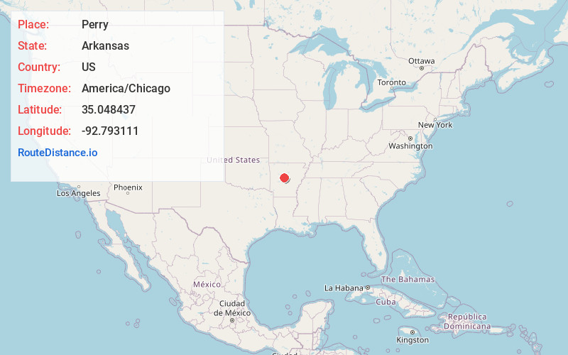
Full AddressPerry, AR
-
Coordinates35.048437, -92.7931112
-
LocationPerry , Arkansas , US
-
TimezoneAmerica/Chicago
-
Current Local Time3:04:10 PM America/ChicagoFriday, June 13, 2025
-
Page Views0
About Perry
Perry is a town in Perry County, Arkansas, United States. The population was 314 at the 2000 census. It is part of the Little Rock–North Little Rock–Conway Metropolitan Statistical Area.
Nearby Places
Found 10 places within 50 miles

Perryville
3.0 mi
4.8 km
Perryville, AR 72126
Get directions

Oppelo
3.9 mi
6.3 km
Oppelo, AR 72110
Get directions

Morrilton
7.7 mi
12.4 km
Morrilton, AR 72110
Get directions
Bigelow
9.8 mi
15.8 km
Bigelow, AR 72016
Get directions
Plumerville
11.6 mi
18.7 km
Plumerville, AR 72127
Get directions

Atkins
15.7 mi
25.3 km
Atkins, AR
Get directions

Roland
19.5 mi
31.4 km
Roland, AR 72135
Get directions

Springfield
20.2 mi
32.5 km
Springfield, AR 72157
Get directions

Pottsville
20.2 mi
32.5 km
Pottsville, AR
Get directions

Conway
20.4 mi
32.8 km
Conway, AR
Get directions
Location Links
Local Weather
Weather Information
Coming soon!
Location Map
Static map view of Perry, Arkansas
Browse Places by Distance
Places within specific distances from Perry
Short Distances
Long Distances
Click any distance to see all places within that range from Perry. Distances shown in miles (1 mile ≈ 1.61 kilometers).