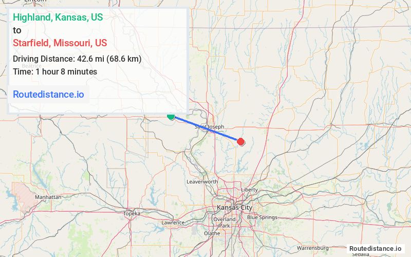
Distance from Highland, Kansas to Starfield, Missouri
The driving distance from Highland, Kansas to Starfield, Missouri is 63.9 mi (102.8 km)
The straight-line (air) distance is approximately 26.5 mi (42.6 km)
Estimated travel time by road is 1 hour 11 minutes
We found 2 routes between Highland and Starfield.
Available Routes
Route Directions
Get on US-36 E from KS-120
Continue on US-36 E. Take I-29 S/US-71 S to State Hwy DD in Faucett. Take exit 35 from I-29 S/US-71 S
Continue on State Hwy DD. Take SE State Hwy Mm, Loutermilch Rd, SE State Hwy E/SE State Rte E, MO-116 E and NW State Hwy K to NW 308th St in Lafayette Township
Route Directions
Get on US-36 E from KS-120
Follow US-36 E to MO-31 S in Marion Township
Continue on MO-31 S. Take SE State Hwy Nn to NW 308th St in Lafayette Township
Journey Details
Traveling from Highland, Kansas to Starfield, Missouri covers 51 miles (82 km) in a east direction. This mixed highways and local roads, moderate route typically takes 56 minutes under normal conditions.
Drivers have 2 route options between these locations (51-64 miles / 82-103 km). The primary route shown here saves 16 minutes compared to alternatives.
Journey Waypoints
Highland
Starting Point
Starfield
Destination
Route Map Image