Distance to Elwood, Kansas

Calculating Your Route
Just a moment while we process your request...
Location Information
-
Full AddressElwood, KS
-
Coordinates39.7555499, -94.8724661
-
LocationElwood , Kansas , US
-
TimezoneAmerica/Chicago
-
Current Local Time1:07:53 AM America/ChicagoThursday, June 19, 2025
-
Page Views0
About Elwood
Elwood is a city in Doniphan County, Kansas, United States, located west across the Missouri River from Saint Joseph, Missouri. As of the 2020 census, the population of the city was 1,125.

Nearby Places
Found 10 places within 50 miles

St Joseph
1.6 mi
2.6 km
St Joseph, MO
Get directions

Wathena
4.1 mi
6.6 km
Wathena, KS 66090
Get directions
Savannah
13.0 mi
20.9 km
Savannah, MO 64485
Get directions
Gower
17.5 mi
28.2 km
Gower, MO 64454
Get directions

Atchison
18.8 mi
30.3 km
Atchison, KS
Get directions

Weston
23.9 mi
38.5 km
Weston, MO 64098
Get directions

Plattsburg
26.1 mi
42.0 km
Plattsburg, MO 64477
Get directions

Platte City
27.0 mi
43.5 km
Platte City, MO 64079
Get directions

Smithville
29.8 mi
48.0 km
Smithville, MO 64089
Get directions

Leavenworth
30.9 mi
49.7 km
Leavenworth, KS
Get directions
Location Links
Local Weather
Weather Information
Coming soon!
Location Map
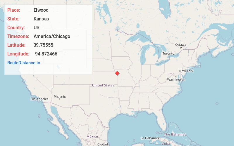
Static map view of Elwood, Kansas
Browse Places by Distance
Places within specific distances from Elwood
Short Distances
Long Distances
Click any distance to see all places within that range from Elwood. Distances shown in miles (1 mile ≈ 1.61 kilometers).