Distance to Leavenworth, Kansas

Calculating Your Route
Just a moment while we process your request...
Location Information
-
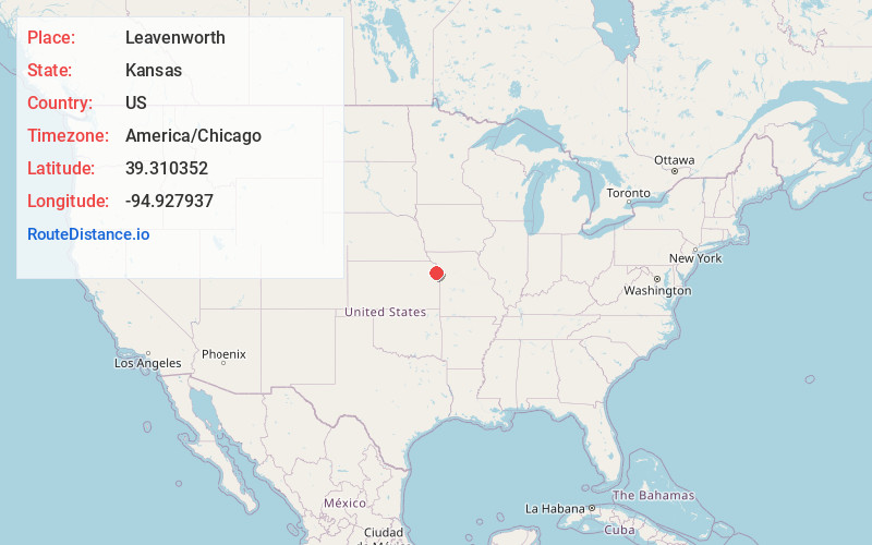
Full AddressLeavenworth, KS
-
Coordinates39.3103522, -94.9279371
-
LocationLeavenworth , Kansas , US
-
TimezoneAmerica/Chicago
-
Current Local Time1:13:10 AM America/ChicagoMonday, June 2, 2025
-
Website
-
Page Views0
About Leavenworth
Leavenworth is the county seat and largest city of Leavenworth County, Kansas, United States. Part of the Kansas City metropolitan area, Leavenworth is located on the west bank of the Missouri River, on the site of Fort Leavenworth, built in 1827.


Nearby Places
Found 10 places within 50 miles

Kansas City
21.0 mi
33.8 km
Kansas City, KS
Get directions

Shawnee
22.9 mi
36.9 km
Shawnee, KS
Get directions

Kansas City
23.7 mi
38.1 km
Kansas City, MO
Get directions

Overland Park
26.5 mi
42.6 km
Overland Park, KS
Get directions

Lenexa
26.8 mi
43.1 km
Lenexa, KS
Get directions

Lawrence
28.6 mi
46.0 km
Lawrence, KS
Get directions

Olathe
30.2 mi
48.6 km
Olathe, KS
Get directions

Independence
31.3 mi
50.4 km
Independence, MO
Get directions

St Joseph
31.9 mi
51.3 km
St Joseph, MO
Get directions

Blue Springs
40.1 mi
64.5 km
Blue Springs, MO
Get directions
Location Links
Local Weather
Weather Information
Coming soon!
Location Map
Static map view of Leavenworth, Kansas
Browse Places by Distance
Places within specific distances from Leavenworth
Short Distances
Long Distances
Click any distance to see all places within that range from Leavenworth. Distances shown in miles (1 mile ≈ 1.61 kilometers).