Distance to Platte City, Missouri

Calculating Your Route
Just a moment while we process your request...
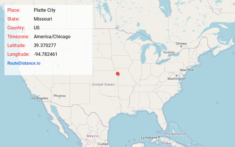
Location Information
-
Full AddressPlatte City, MO 64079
-
Coordinates39.3702773, -94.7824609
-
LocationPlatte City , Missouri , US
-
TimezoneAmerica/Chicago
-
Current Local Time7:46:58 PM America/ChicagoWednesday, June 18, 2025
-
Page Views0
About Platte City
Platte City is a city in and the county seat of Platte County, Missouri, United States. The population was 4,784 at the 2020 census. The city is part of the Kansas City metropolitan area.


Nearby Places
Found 10 places within 50 miles

Leavenworth
8.8 mi
14.2 km
Leavenworth, KS
Get directions

Lansing
10.5 mi
16.9 km
Lansing, KS
Get directions

Smithville
10.8 mi
17.4 km
Smithville, MO 64089
Get directions

Parkville
13.2 mi
21.2 km
Parkville, MO
Get directions

Gladstone
16.8 mi
27.0 km
Gladstone, MO
Get directions
Basehor
17.9 mi
28.8 km
Basehor, KS 66007
Get directions

Kansas City
19.5 mi
31.4 km
Kansas City, KS
Get directions

Liberty
21.2 mi
34.1 km
Liberty, MO
Get directions

Kansas City
21.6 mi
34.8 km
Kansas City, MO
Get directions

Bonner Springs
22.1 mi
35.6 km
Bonner Springs, KS
Get directions
Location Links
Local Weather
Weather Information
Coming soon!
Location Map
Static map view of Platte City, Missouri
Browse Places by Distance
Places within specific distances from Platte City
Short Distances
Long Distances
Click any distance to see all places within that range from Platte City. Distances shown in miles (1 mile ≈ 1.61 kilometers).