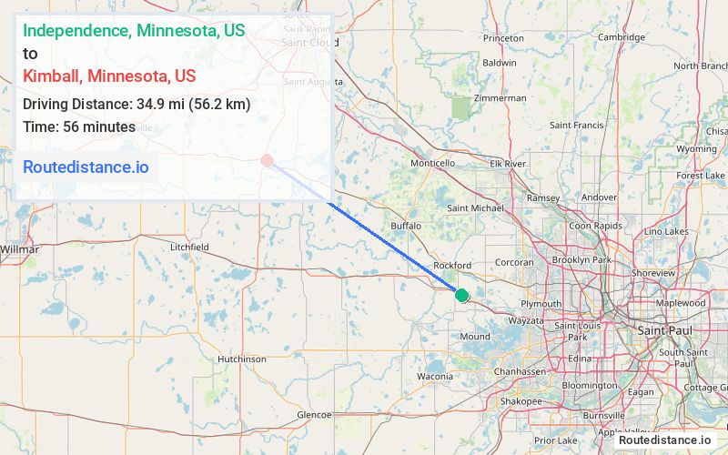
Distance from Independence, Minnesota to Kimball, Minnesota
Independence
Kimball
Total Distance
40.4 mi
(64.9 km)
Travel Time
51 minutes
The driving distance from Independence, Minnesota to Kimball, Minnesota is 40.4 mi (64.9 km)
The straight-line (air) distance is approximately 21.7 mi (34.9 km)
Estimated travel time by road is 51 minutes
Route Directions
Take Dogwood St to Hwy 55 W in Greenfield
4.4 mi
6 min
22.1 mi
27 min
Take 90th St NW to MN-24 S/Hwy 55 W in Southside Township
8.2 mi
10 min
5.3 mi
6 min
Follow Hazel Ave E to Magnus Johnson St N
0.3 mi
0 min
Journey Details
Traveling from Independence, Minnesota to Kimball, Minnesota covers 40.4 miles (65 km) in a northwest direction. This mixed highways and local roads, moderate route typically takes 51 minutes under normal conditions.
Journey Waypoints
Independence
Starting Point
Kimball
Destination
Route Map Image
Destination

Origin

Address
Coordinates
45.025241, -93.707463
Timezone
America/Chicago
Local Time
11:37 PM - Saturday, May 10