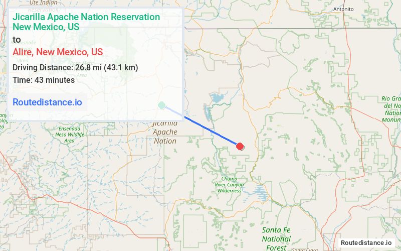
Distance from Jicarilla Apache Nation Reservation, New Mexico to Alire, New Mexico
The driving distance from Jicarilla Apache Nation Reservation, New Mexico to Alire, New Mexico is 81.4 mi (131 km)
The straight-line (air) distance is approximately 16.6 mi (26.8 km)
Estimated travel time by road is 1 hour 31 minutes
We found 3 routes between Jicarilla Apache Nation Reservation and Alire.
Available Routes
Route Directions
Take NM-537 N to US-64 E
Take US-84 E to NM-221 S in Cebolla
Continue on NM-221 S. Drive to Co Rd 303
Route Directions
Follow County Hwy J8, NM-95 N and US-84 E to NM-221 S in Cebolla
Continue on NM-221 S. Drive to Co Rd 303
Route Directions
Drive to Co Rd 303 in Cebolla
Journey Details
Traveling from Jicarilla Apache Nation Reservation, New Mexico to Alire, New Mexico covers 42.8 miles (69 km) in a southeast direction. This local streets, moderate route typically takes 1 hour 46 minutes under normal conditions.
Drivers have 3 route options between these locations (43-81 miles / 69-131 km). The primary route shown here saves no time compared to alternatives.
The route features mountain passes, urban congestion. During midday weekend travel, expect typical weekend traffic patterns with average speeds around 23 mph (37 km/h) .
Journey Waypoints
Jicarilla Apache Nation Reservation
Starting Point
Alire
Destination
Route Map Image