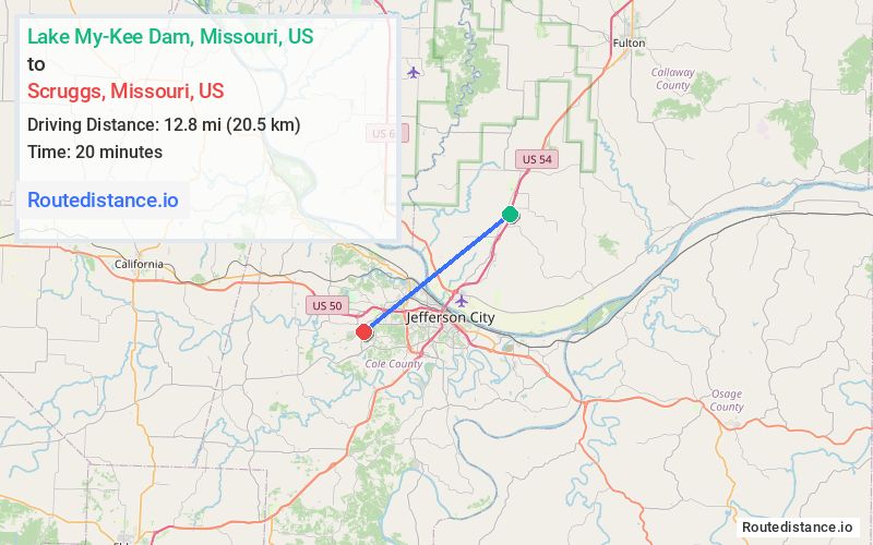
Distance from Lake My-Kee Dam, Missouri to Scruggs, Missouri
The driving distance from Lake My-Kee Dam, Missouri to Scruggs, Missouri is 17.6 mi (28.3 km)
The straight-line (air) distance is approximately 7.9 mi (12.8 km)
Estimated travel time by road is 23 minutes
We found 2 routes between Lake My-Kee Dam and Scruggs.
Available Routes
Route Directions
Get on US-54 W in Summit Township from N Larand Dr and Old US Hwy 54
Follow US-54 W and US-50 W to Big Horn Dr in Jefferson Township. Take the Big Horn Drive exit from US-50 W
Continue on Big Horn Dr. Take Westview Dr and Scruggs Station Rd to Scruggs Ln
Route Directions
Get on US-54 W in Summit Township from N Larand Dr and Old US Hwy 54
Follow US-54 W and US-50 W to S Country Club Dr/W Truman Blvd in Jefferson City. Take the S Country Club Dr exit from US-50 W
Follow S Country Club Dr and Scruggs Station Rd to Scruggs Ln
Journey Details
Traveling from Lake My-Kee Dam, Missouri to Scruggs, Missouri covers 17 miles (27 km) in a southwest direction. This mixed highways and local roads, moderate route typically takes 24 minutes under normal conditions.
Drivers have 2 route options between these locations (17-18 miles / 27-28 km). The primary route shown here saves no time compared to alternatives.
The route features scenic views. During midday weekend travel, expect typical weekend traffic patterns with average speeds around 45 mph (72 km/h) .
Journey Waypoints
Lake My-Kee Dam
Starting Point
Scruggs
Destination
Route Map Image