Distance to Lake My-Kee Dam, Missouri

Calculating Your Route
Just a moment while we process your request...
Location Information
-
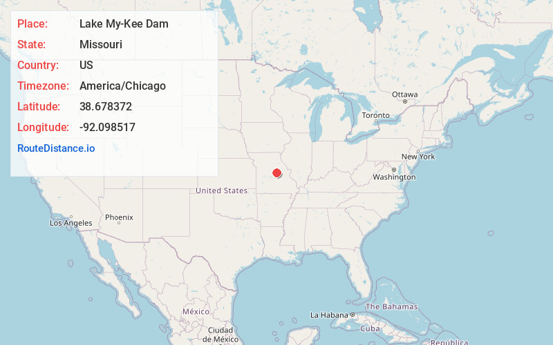
Full AddressLake My-Kee Dam, Holts Summit, MO 65043
-
Coordinates38.6783715, -92.0985171
-
LocationHolts Summit , Missouri , US
-
TimezoneAmerica/Chicago
-
Current Local Time9:27:19 AM America/ChicagoFriday, June 20, 2025
-
Page Views0
Nearby Places
Found 10 places within 50 miles

Holts Summit
2.9 mi
4.7 km
Holts Summit, MO 65043
Get directions

New Bloomfield
3.0 mi
4.8 km
New Bloomfield, MO 65063
Get directions

Tebbetts
8.4 mi
13.5 km
Tebbetts, MO 65080
Get directions

Bonnots Mill
10.0 mi
16.1 km
Bonnots Mill, MO 65016
Get directions

Ashland
10.8 mi
17.4 km
Ashland, MO
Get directions

Hartsburg
11.4 mi
18.3 km
Hartsburg, MO 65039
Get directions

Schubert
11.4 mi
18.3 km
Schubert, MO 65101
Get directions

Taos
12.0 mi
19.3 km
Taos, MO 65101
Get directions

Mokane
12.1 mi
19.5 km
Mokane, MO 65059
Get directions
Scruggs
12.8 mi
20.6 km
Scruggs, Jefferson City, MO 65109
Get directions
Location Links
Local Weather
Weather Information
Coming soon!
Location Map
Static map view of Lake My-Kee Dam, Missouri
Browse Places by Distance
Places within specific distances from Lake My-Kee Dam
Short Distances
Long Distances
Click any distance to see all places within that range from Lake My-Kee Dam. Distances shown in miles (1 mile ≈ 1.61 kilometers).