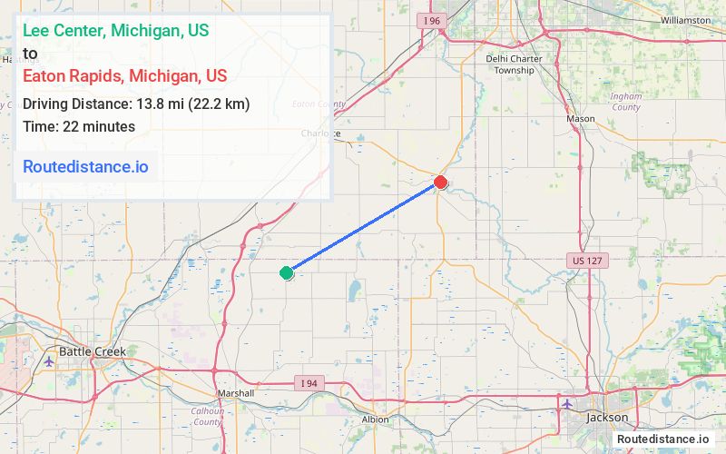
Distance from Lee Center, Michigan to Eaton Rapids, Michigan
The driving distance from Lee Center, Michigan to Eaton Rapids, Michigan is 19.5 mi (31.3 km)
The straight-line (air) distance is approximately 8.6 mi (13.8 km)
Estimated travel time by road is 24 minutes
We found 3 routes between Lee Center and Eaton Rapids.
Available Routes
Route Directions
Route Directions
Continue on W Dr N. Take McClellan Rd to M-99 N in Springport Township
Follow M-99 N to State St in Eaton Rapids
Route Directions
Take S Cochran Rd and E Bellevue Hwy to Holmes Hwy in Brookfield Township
Follow M-50 W/M-99 N/S Clinton Trail to State St in Eaton Rapids
Journey Details
Traveling from Lee Center, Michigan to Eaton Rapids, Michigan covers 18.6 miles (30 km) in a northeast direction. This mixed highways and local roads, moderate route typically takes 24 minutes under normal conditions.
Drivers have 3 route options between these locations (19-20 miles / 30-33 km). The primary route shown here saves 5 minutes compared to alternatives.
Journey Waypoints
Lee Center
Starting Point
Eaton Rapids
Destination
Route Map Image