Distance to Eaton Rapids, Michigan

Calculating Your Route
Just a moment while we process your request...
Location Information
-
Full AddressEaton Rapids, MI 48827
-
Coordinates42.5092039, -84.655814
-
LocationEaton Rapids , Michigan , US
-
TimezoneAmerica/Detroit
-
Current Local Time10:55:51 AM America/DetroitThursday, June 19, 2025
-
Page Views0
About Eaton Rapids
Eaton Rapids is a city in Eaton County in the U.S. state of Michigan. The population was 5,214 at the 2010 census.
The city is located in the south of Eaton Rapids Township, on the boundary with Hamlin Township, though it is politically independent of both townships.


Nearby Places
Found 10 places within 50 miles

Charlotte
9.9 mi
15.9 km
Charlotte, MI 48813
Get directions

Holt
11.6 mi
18.7 km
Holt, MI
Get directions

Mason
11.8 mi
19.0 km
Mason, MI 48854
Get directions

Waverly
16.1 mi
25.9 km
Waverly, MI 48917
Get directions

Lansing
16.3 mi
26.2 km
Lansing, MI
Get directions

Grand Ledge
17.5 mi
28.2 km
Grand Ledge, MI 48837
Get directions

East Lansing
18.0 mi
29.0 km
East Lansing, MI
Get directions

Okemos
18.7 mi
30.1 km
Okemos, MI
Get directions

Albion
19.0 mi
30.6 km
Albion, MI 49224
Get directions

Haslett
20.7 mi
33.3 km
Haslett, MI
Get directions
Location Links
Local Weather
Weather Information
Coming soon!
Location Map
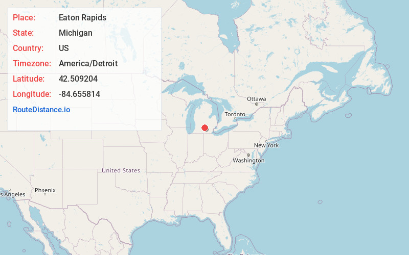
Static map view of Eaton Rapids, Michigan
Browse Places by Distance
Places within specific distances from Eaton Rapids
Short Distances
Long Distances
Click any distance to see all places within that range from Eaton Rapids. Distances shown in miles (1 mile ≈ 1.61 kilometers).