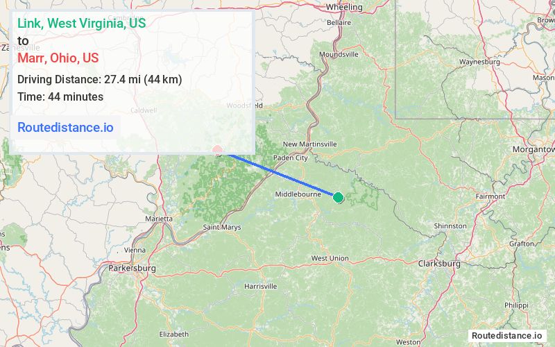
Distance from Link, West Virginia to Marr, Ohio
The driving distance from Link, West Virginia to Marr, Ohio is 63.7 mi (102.4 km)
The straight-line (air) distance is approximately 17 mi (27.4 km)
Estimated travel time by road is 1 hour 37 minutes
We found 3 routes between Link and Marr.
Available Routes
Route Directions
Take Scales Run to Elk Fork Rd
Continue on Elk Fork Rd. Take WV-180 N, OH-7 N/Ohio River Scenic Byway, OH-78 W and OH-26 S to OH-260 S in Bethel Township
Route Directions
Take Scales Run to Elk Fork Rd
Continue on Elk Fork Rd. Take WV-180 N, OH-7 S/Ohio River Scenic Byway, OH-800 N and OH-26 S to OH-260 S in Bethel Township
Route Directions
Take Scales Run to Elk Fork Rd
Continue on Elk Fork Rd. Take WV-180 N and OH-7 S/Ohio River Scenic Byway to OH-260 N in Bethel Township
Journey Details
Traveling from Link, West Virginia to Marr, Ohio covers 53.8 miles (87 km) in a west direction. This secondary roads, moderate route typically takes 1 hour 25 minutes under normal conditions.
Drivers have 3 route options between these locations (54-64 miles / 87-102 km). The primary route shown here saves 12 minutes compared to alternatives.
The route features scenic views. During morning weekday travel, expect morning rush hour with average speeds around 37 mph (60 km/h) .
Journey Waypoints
Link
Starting Point
Marr
Destination
Route Map Image