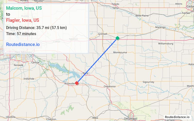
Distance from Malcom, Iowa to Flagler, Iowa
The driving distance from Malcom, Iowa to Flagler, Iowa is 52.9 mi (85.1 km)
The straight-line (air) distance is approximately 22.2 mi (35.7 km)
Estimated travel time by road is 1 hour 2 minutes
We found 3 routes between Malcom and Flagler.
Available Routes
Route Directions
Take I-80 W, Hwy T22 S, Hwy F62 E, Hwy T 14 S and Hwy T15 to 169th Ave in Marion County
Drive to Stone St
Route Directions
Follow I-80 W to IA-14 S in Newton. Take exit 164 from I-80 W
Get on IA-163 E in Monroe from IA-14 S
Follow IA-163 E to Hwy G 28/Washington St in Pella. Take exit 40 from IA-163 E
Take Hwy T15 to Stone St
Route Directions
Continue on US-63 S. Take 140th St and Co Hwy G5T to 169th Ave in Marion County
Drive to Stone St
Journey Details
Traveling from Malcom, Iowa to Flagler, Iowa covers 50.6 miles (81 km) in a southwest direction. This mixed highways and local roads, moderate route typically takes 1 hour 2 minutes under normal conditions.
Drivers have 3 route options between these locations (51-60 miles / 81-97 km). The primary route shown here saves 59 seconds compared to alternatives.
The route features scenic views. During midday weekday travel, expect lighter midday traffic with average speeds around 47 mph (76 km/h) .
Journey Waypoints
Malcom
Starting Point
Flagler
Destination
Route Map Image