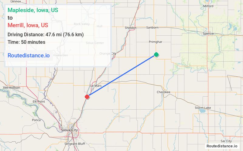
Distance from Mapleside, Iowa to Merrill, Iowa
The driving distance from Mapleside, Iowa to Merrill, Iowa is 47.6 mi (76.6 km)
The straight-line (air) distance is approximately 23.1 mi (37.2 km)
Estimated travel time by road is 50 minutes
We found 3 routes between Mapleside and Merrill.
Available Routes
Route Directions
Take State Hwy 10 W/460th St, IA-143 S, 130th St/C16 and US-75 S to Main St/Old U.S. 75 S in Merrill
Route Directions
Continue on State Hwy 10 W/460th St. Take IA-143 S to IA-3 W in Plymouth County
Take C38 to US-75 S in Le Mars
Route Directions
Journey Details
Traveling from Mapleside, Iowa to Merrill, Iowa covers 46 miles (74 km) in a southwest direction. This highway, moderate route typically takes 46 minutes under normal conditions.
Drivers have 3 route options between these locations (46-50 miles / 74-81 km). The primary route shown here saves 9 minutes compared to alternatives.
The route features scenic views. During night weekday travel, expect minimal traffic congestion with average speeds around 57 mph (92 km/h) .
Journey Waypoints
Mapleside
Starting Point
Merrill
Destination
Route Map Image