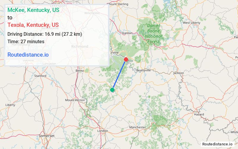
Distance from McKee, Kentucky to Texola, Kentucky
The driving distance from McKee, Kentucky to Texola, Kentucky is 42.1 mi (67.7 km)
The straight-line (air) distance is approximately 10.5 mi (16.9 km)
Estimated travel time by road is 1 hour 5 minutes
We found 3 routes between McKee and Texola.
Available Routes
Route Directions
Continue on KY-1071 E. Take KY-30 E, KY-399 N and KY-52 W to Pryse Rd in Estill County
Route Directions
Take KY-587 N, KY-1209, KY-89 N and State Hwy 1571 to Pryse Rd in Estill County
Route Directions
Follow KY-89 N to State Hwy 1571/Main St in Ravenna
Continue on State Hwy 1571. Drive to Pryse Rd
Journey Details
Traveling from McKee, Kentucky to Texola, Kentucky covers 35.8 miles (58 km) in a northeast direction. This mixed highways and local roads, moderate route typically takes 54 minutes under normal conditions.
Drivers have 3 route options between these locations (36-43 miles / 58-69 km). The primary route shown here saves 14 minutes compared to alternatives.
Journey Waypoints
McKee
Starting Point
Texola
Destination
Route Map Image