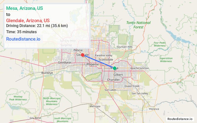
Distance from Mesa, Arizona to Glendale, Arizona
The driving distance from Mesa, Arizona to Glendale, Arizona is 27.2 mi (43.8 km)
The straight-line (air) distance is approximately 13.8 mi (22.1 km)
Estimated travel time by road is 38 minutes
We found 3 routes between Mesa and Glendale.
Available Routes
Route Directions
Get on AZ-202 from N Center St
Continue on AZ-202 to Phoenix. Take exit 143C from I-10 W
Follow Grand Ave to W Glendale Ave in Glendale
Route Directions
Get on US-60 W from S Country Club Dr
Follow US-60 W, I-10 W and I-17 N to N Black Cyn Hwy in Phoenix. Take exit 202 from I-17 N
Take W Indian School Rd and W Grand Ave to W Glendale Ave in Glendale
Route Directions
Get on US-60 W from S Country Club Dr
Follow US-60 W, I-10 W and I-17 N to N Black Cyn Hwy in Phoenix. Take exit 200B from I-17 N
Take Grand Ave to W Glendale Ave in Glendale
Journey Details
Traveling from Mesa, Arizona to Glendale, Arizona covers 27.2 miles (44 km) in a west direction. This mixed highways and local roads, moderate route typically takes 38 minutes under normal conditions.
Drivers have 3 route options between these locations (27-30 miles / 44-48 km). The primary route shown here saves 28 seconds compared to alternatives.
Journey Waypoints
Mesa
Starting Point
Glendale
Destination
Route Map Image