Distance from New York, New York to Leivasy, West Virginia
The driving distance from New York, New York to Leivasy, West Virginia is 512.9 mi (825.4 km)
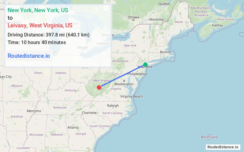
The straight-line (air) distance is approximately 247.2 mi (397.8 km)
Estimated travel time by road is 8 hours 3 minutes
This route includes Toll roads along the way.
We found 3 routes between New York and Leivasy.
Available Routes
Route Directions
Take Hudson St and I-78 W to NJ-139 W in Jersey City
Follow I-78 W, I-81 S and I-64 W to US-60 W/Midland Trail W in Crawley. Take exit 156 from I-64 W
Drive to WV-20 N in Leivasy
Route Directions
Take Frankfort St and South St to FDR Dr
Take I-80 W, I-287 S, I-78 W, US-22 W, ... and I-64 W to US-60 W/Midland Trail W in Crawley. Take exit 156 from I-64 W
Drive to WV-20 N in Leivasy
Route Directions
Continue to Jersey City
Take I-95 S/NJ Turnpike S, I-276 W, I-76 W, I-81 S and I-64 W to US-60 W/Midland Trail W in Crawley. Take exit 156 from I-64 W
Drive to WV-20 N in Leivasy
Journey Details
Traveling from New York, New York to Leivasy, West Virginia covers 512.9 miles (825 km) in a west direction. This highway, long-distance route typically takes 8 hours 3 minutes under normal conditions.
Drivers have 3 route options between these locations (513-536 miles / 825-863 km). The primary route shown here saves 37 minutes compared to alternatives.
The route features toll sections. During night weekday travel, expect minimal traffic congestion with average speeds around 61 mph (98 km/h) .
Journey Waypoints
New York
Starting Point
Leivasy
Destination
Route Map Image