Distance to Mont Clare, Pennsylvania

Calculating Your Route
Just a moment while we process your request...
Location Information
-
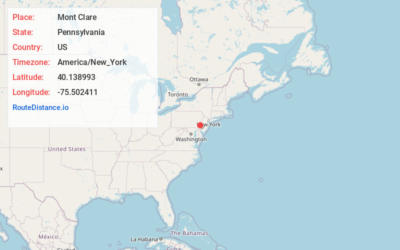
Full AddressMont Clare, PA
-
Coordinates40.1389933, -75.502411
-
LocationMont Clare , Pennsylvania , US
-
TimezoneAmerica/New_York
-
Current Local Time2:10:22 PM America/New_YorkWednesday, June 18, 2025
-
Page Views0
About Mont Clare
Mont Clare is a village in Upper Providence Township, Montgomery County, Pennsylvania. The village is located on the left bank of the Schuylkill River opposite Phoenixville and Chester County. Mont Clare is at the site of the former Jacobs' ford.

Nearby Places
Found 10 places within 50 miles

Phoenixville
0.9 mi
1.4 km
Phoenixville, PA 19460
Get directions

Upper Providence Township
2.1 mi
3.4 km
Upper Providence Township, PA
Get directions

East Pikeland Township
2.9 mi
4.7 km
East Pikeland Township, PA
Get directions

Spring City
3.5 mi
5.6 km
Spring City, PA 19475
Get directions

Royersford
3.6 mi
5.8 km
Royersford, PA 19468
Get directions

Audubon
3.8 mi
6.1 km
Audubon, PA
Get directions

Collegeville
4.2 mi
6.8 km
Collegeville, PA 19426
Get directions

Lower Providence Township
4.2 mi
6.8 km
Lower Providence Township, PA
Get directions

Trappe
4.4 mi
7.1 km
Trappe, PA 19426
Get directions

Charlestown Township
4.7 mi
7.6 km
Charlestown Township, PA
Get directions
Location Links
Local Weather
Weather Information
Coming soon!
Location Map
Static map view of Mont Clare, Pennsylvania
Browse Places by Distance
Places within specific distances from Mont Clare
Short Distances
Long Distances
Click any distance to see all places within that range from Mont Clare. Distances shown in miles (1 mile ≈ 1.61 kilometers).