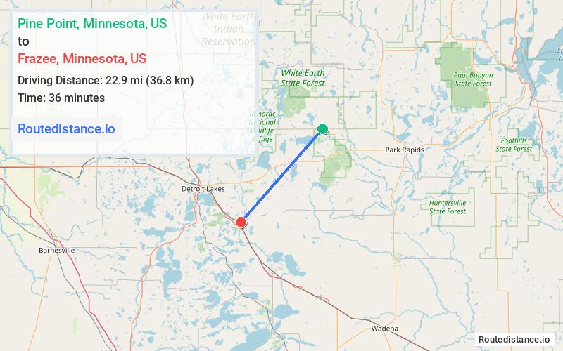
Distance from Pine Point, Minnesota to Frazee, Minnesota
The driving distance from Pine Point, Minnesota to Frazee, Minnesota is 30.3 mi (48.8 km)
The straight-line (air) distance is approximately 14.2 mi (22.9 km)
Estimated travel time by road is 36 minutes
We found 2 routes between Pine Point and Frazee.
Available Routes
Route Directions
Follow Co Hwy 39 and MN-87 W to Main Ave W in Frazee
Route Directions
Take Co Hwy 37, MN-34 W and Co Hwy 29 to 5th St NW in Frazee
Drive to Main Ave W
Journey Details
Traveling from Pine Point, Minnesota to Frazee, Minnesota covers 28 miles (45 km) in a southwest direction. This mixed highways and local roads, moderate route typically takes 32 minutes under normal conditions.
Drivers have 2 route options between these locations (28-30 miles / 45-49 km). The primary route shown here saves 4 minutes compared to alternatives.
The route features scenic views. During evening weekday travel, expect evening rush hour with average speeds around 50 mph (80 km/h) .
Journey Waypoints
Pine Point
Starting Point
Frazee
Destination
Route Map Image