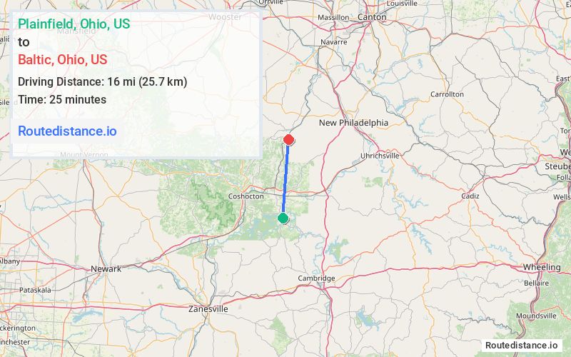
Distance from Plainfield, Ohio to Baltic, Ohio
The driving distance from Plainfield, Ohio to Baltic, Ohio is 21.9 mi (35.3 km)
The straight-line (air) distance is approximately 9.9 mi (16 km)
Estimated travel time by road is 33 minutes
We found 2 routes between Plainfield and Baltic.
Available Routes
Route Directions
Take Co Rd 151 to OH-751 N in Oxford Township
Continue on OH-751 N. Take Troendly Rd SW and Ragersville Rd SW to Maple St in Baltic
Follow Maple St to Gause Dr
Route Directions
Journey Details
Traveling from Plainfield, Ohio to Baltic, Ohio covers 19.1 miles (31 km) in a north direction. This mixed highways and local roads, moderate route typically takes 28 minutes under normal conditions.
Drivers have 2 route options between these locations (19-22 miles / 31-35 km). The primary route shown here saves 6 minutes compared to alternatives.
The route features scenic views. During night weekday travel, expect minimal traffic congestion with average speeds around 43 mph (69 km/h) .
Journey Waypoints
Plainfield
Starting Point
Baltic
Destination
Route Map Image