Distance to Fresno, Ohio

Calculating Your Route
Just a moment while we process your request...
Location Information
-
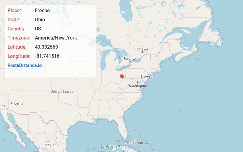
Full AddressFresno, OH 43824
-
Coordinates40.3325692, -81.7415163
-
LocationFresno , Ohio , US
-
TimezoneAmerica/New_York
-
Current Local Time11:24:55 PM America/New_YorkSunday, June 15, 2025
-
Page Views0
About Fresno
Fresno is a census-designated place in eastern White Eyes Township, Coshocton County, Ohio, United States. As of the 2020 census it had a population of 140. It has a post office with the ZIP code 43824. It lies along State Route 93 between West Lafayette and Baltic.Fresno Ohio Mayor

Nearby Places
Found 10 places within 50 miles

West Lafayette
4.0 mi
6.4 km
West Lafayette, OH 43845
Get directions

Coshocton
7.5 mi
12.1 km
Coshocton, OH 43812
Get directions

Baltic
7.8 mi
12.6 km
Baltic, OH 43804
Get directions

Newcomerstown
8.3 mi
13.4 km
Newcomerstown, OH 43832
Get directions

Plainfield
8.6 mi
13.8 km
Plainfield, OH
Get directions

Stone Creek
10.5 mi
16.9 km
Stone Creek, OH
Get directions

Port Washington
11.6 mi
18.7 km
Port Washington, OH 43837
Get directions

Lake Buckhorn
12.9 mi
20.8 km
Lake Buckhorn, OH 44654
Get directions

Sugarcreek
12.9 mi
20.8 km
Sugarcreek, OH 44681
Get directions
Conesville
13.0 mi
20.9 km
Conesville, OH
Get directions
Location Links
Local Weather
Weather Information
Coming soon!
Location Map
Static map view of Fresno, Ohio
Browse Places by Distance
Places within specific distances from Fresno
Short Distances
Long Distances
Click any distance to see all places within that range from Fresno. Distances shown in miles (1 mile ≈ 1.61 kilometers).