Distance to Conesville, Ohio

Calculating Your Route
Just a moment while we process your request...
Location Information
-
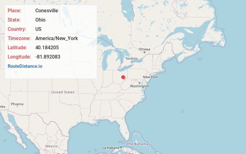
Full AddressConesville, OH
-
Coordinates40.184205, -81.8920834
-
LocationConesville , Ohio , US
-
TimezoneAmerica/New_York
-
Current Local Time2:44:09 AM America/New_YorkThursday, June 19, 2025
-
Page Views0
About Conesville
Conesville is a village in Coshocton County, Ohio, United States, along the Muskingum River. The population was 328 at the 2020 census.
Nearby Places
Found 10 places within 50 miles

Coshocton
6.3 mi
10.1 km
Coshocton, OH 43812
Get directions

Trinway
7.1 mi
11.4 km
Trinway, OH
Get directions

Dresden
7.6 mi
12.2 km
Dresden, OH
Get directions

Adamsville
7.9 mi
12.7 km
Adamsville, OH 43802
Get directions

West Lafayette
9.8 mi
15.8 km
West Lafayette, OH 43845
Get directions

Warsaw
12.1 mi
19.5 km
Warsaw, OH 43844
Get directions

Frazeysburg
12.9 mi
20.8 km
Frazeysburg, OH 43822
Get directions
Nellie
14.0 mi
22.5 km
Nellie, OH 43844
Get directions
North Zanesville
15.4 mi
24.8 km
North Zanesville, OH 43701
Get directions

New Concord
15.6 mi
25.1 km
New Concord, OH 43762
Get directions
Location Links
Local Weather
Weather Information
Coming soon!
Location Map
Static map view of Conesville, Ohio
Browse Places by Distance
Places within specific distances from Conesville
Short Distances
Long Distances
Click any distance to see all places within that range from Conesville. Distances shown in miles (1 mile ≈ 1.61 kilometers).