Distance to Nellie, Ohio

Calculating Your Route
Just a moment while we process your request...
Location Information
-
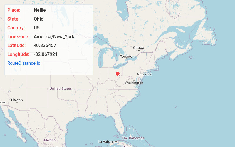
Full AddressNellie, OH 43844
-
Coordinates40.336457, -82.0679213
-
LocationNellie , Ohio , US
-
TimezoneAmerica/New_York
-
Current Local Time10:03:42 AM America/New_YorkSunday, June 8, 2025
-
Page Views0
About Nellie
Nellie is a village in Coshocton County, Ohio, United States, along the Walhonding River. The population was 122 at the 2020 census.
The 1930s-era Mohawk Dam, a dry dam built for flood control, is just to the north and west of the village.
Nearby Places
Found 10 places within 50 miles

Warsaw
3.2 mi
5.1 km
Warsaw, OH 43844
Get directions

Killbuck
11.8 mi
19.0 km
Killbuck, OH 44637
Get directions

Coshocton
11.8 mi
19.0 km
Coshocton, OH 43812
Get directions

Lake Buckhorn
12.5 mi
20.1 km
Lake Buckhorn, OH 44654
Get directions

Danville
12.7 mi
20.4 km
Danville, OH 43014
Get directions

Howard
14.5 mi
23.3 km
Howard, OH 43028
Get directions

Dresden
15.2 mi
24.5 km
Dresden, OH
Get directions

Frazeysburg
15.4 mi
24.8 km
Frazeysburg, OH 43822
Get directions

Millersburg
17.0 mi
27.4 km
Millersburg, OH 44654
Get directions

West Lafayette
17.2 mi
27.7 km
West Lafayette, OH 43845
Get directions
Location Links
Local Weather
Weather Information
Coming soon!
Location Map
Static map view of Nellie, Ohio
Browse Places by Distance
Places within specific distances from Nellie
Short Distances
Long Distances
Click any distance to see all places within that range from Nellie. Distances shown in miles (1 mile ≈ 1.61 kilometers).