Distance to Howard, Ohio

Calculating Your Route
Just a moment while we process your request...
Location Information
-
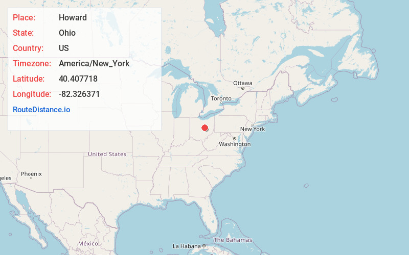
Full AddressHoward, OH 43028
-
Coordinates40.4077183, -82.3263709
-
LocationHoward , Ohio , US
-
TimezoneAmerica/New_York
-
Current Local Time10:23:07 AM America/New_YorkThursday, June 19, 2025
-
Page Views0
About Howard
Howard is a census-designated place in southern Howard Township, Knox County, Ohio, United States. As of the 2020 census it had a population of 246. The United States Postal Service has assigned Howard the ZIP Code 43028. The community lies along U.S. Route 36.


Nearby Places
Found 10 places within 50 miles

Gambier
4.3 mi
6.9 km
Gambier, OH 43022
Get directions

Danville
4.4 mi
7.1 km
Danville, OH 43014
Get directions

Mt Vernon
8.4 mi
13.5 km
Mt Vernon, OH 43050
Get directions

Fredericktown
12.5 mi
20.1 km
Fredericktown, OH 43019
Get directions

Butler
13.5 mi
21.7 km
Butler, OH 44822
Get directions

Utica
13.7 mi
22.0 km
Utica, OH 43080
Get directions

Loudonville
16.5 mi
26.6 km
Loudonville, OH 44842
Get directions

Perrysville
17.3 mi
27.8 km
Perrysville, OH 44864
Get directions

Warsaw
17.6 mi
28.3 km
Warsaw, OH 43844
Get directions

Bellville
17.6 mi
28.3 km
Bellville, OH
Get directions
Location Links
Local Weather
Weather Information
Coming soon!
Location Map
Static map view of Howard, Ohio
Browse Places by Distance
Places within specific distances from Howard
Short Distances
Long Distances
Click any distance to see all places within that range from Howard. Distances shown in miles (1 mile ≈ 1.61 kilometers).