Distance to Mt Vernon, Ohio

Calculating Your Route
Just a moment while we process your request...
Location Information
-
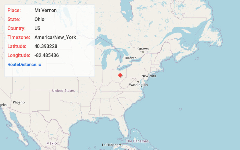
Full AddressMt Vernon, OH 43050
-
Coordinates40.3932283, -82.485436
-
LocationMt Vernon , Ohio , US
-
TimezoneAmerica/New_York
-
Current Local Time10:59:03 AM America/New_YorkThursday, June 19, 2025
-
Website
-
Page Views0
About Mt Vernon
Mount Vernon is a city in Knox County, Ohio, United States, and its county seat. It is located along the Kokosing River, 40 miles northeast of Columbus. The population was 16,956 at the 2020 census.


Nearby Places
Found 10 places within 50 miles

Newark
23.6 mi
38.0 km
Newark, OH
Get directions

Mansfield
25.3 mi
40.7 km
Mansfield, OH
Get directions

Pataskala
29.2 mi
47.0 km
Pataskala, OH
Get directions

Westerville
29.9 mi
48.1 km
Westerville, OH
Get directions

Delaware
31.4 mi
50.5 km
Delaware, OH 43015
Get directions

Gahanna
33.2 mi
53.4 km
Gahanna, OH
Get directions

Ashland
34.0 mi
54.7 km
Ashland, OH 44805
Get directions

Reynoldsburg
34.9 mi
56.2 km
Reynoldsburg, OH
Get directions

Whitehall
36.3 mi
58.4 km
Whitehall, OH
Get directions

Marion
36.4 mi
58.6 km
Marion, OH 43302
Get directions
Location Links
Local Weather
Weather Information
Coming soon!
Location Map
Static map view of Mt Vernon, Ohio
Browse Places by Distance
Places within specific distances from Mt Vernon
Short Distances
Long Distances
Click any distance to see all places within that range from Mt Vernon. Distances shown in miles (1 mile ≈ 1.61 kilometers).