Distance to Pataskala, Ohio

Calculating Your Route
Just a moment while we process your request...
Location Information
-
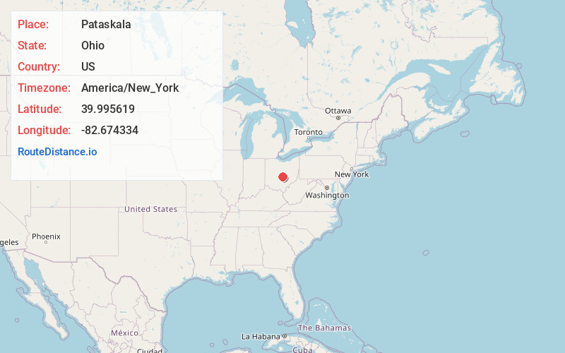
Full AddressPataskala, OH
-
Coordinates39.9956193, -82.6743341
-
LocationPataskala , Ohio , US
-
TimezoneAmerica/New_York
-
Current Local Time3:49:24 AM America/New_YorkThursday, June 19, 2025
-
Website
-
Page Views0
About Pataskala
Pataskala is a city in Licking County, Ohio, United States, approximately 19 miles east of Columbus. The population was 17,886 at the 2020 census. Pataskala was a small community until 1996, when what was then the village of Pataskala merged with Lima Township, vastly increasing its population and geographic area.


Nearby Places
Found 10 places within 50 miles

Reynoldsburg
7.8 mi
12.6 km
Reynoldsburg, OH
Get directions

Pickerington
8.8 mi
14.2 km
Pickerington, OH
Get directions

Gahanna
11.0 mi
17.7 km
Gahanna, OH
Get directions

Whitehall
11.4 mi
18.3 km
Whitehall, OH
Get directions

Newark
15.1 mi
24.3 km
Newark, OH
Get directions

Westerville
16.4 mi
26.4 km
Westerville, OH
Get directions

Columbus
17.6 mi
28.3 km
Columbus, OH
Get directions

Lancaster
19.9 mi
32.0 km
Lancaster, OH 43130
Get directions

Upper Arlington
20.4 mi
32.8 km
Upper Arlington, OH
Get directions

Grove City
23.6 mi
38.0 km
Grove City, OH
Get directions
Location Links
Local Weather
Weather Information
Coming soon!
Location Map
Static map view of Pataskala, Ohio
Browse Places by Distance
Places within specific distances from Pataskala
Short Distances
Long Distances
Click any distance to see all places within that range from Pataskala. Distances shown in miles (1 mile ≈ 1.61 kilometers).