Distance to Westerville, Ohio

Calculating Your Route
Just a moment while we process your request...
Location Information
-
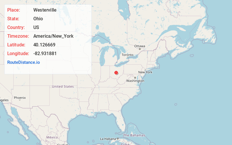
Full AddressWesterville, OH
-
Coordinates40.1266689, -82.9318807
-
LocationWesterville , Ohio , US
-
TimezoneAmerica/New_York
-
Current Local Time4:24:17 PM America/New_YorkSaturday, June 7, 2025
-
Website
-
Page Views0
About Westerville
Westerville is a city in Franklin and Delaware counties in the U.S. state of Ohio. A northeastern suburb of Columbus as well as the home of Otterbein University, the population was 39,190 at the 2020 census.


Nearby Places
Found 10 places within 50 miles

Gahanna
7.9 mi
12.7 km
Gahanna, OH
Get directions

Upper Arlington
9.7 mi
15.6 km
Upper Arlington, OH
Get directions

Dublin
11.2 mi
18.0 km
Dublin, OH
Get directions

Columbus
12.0 mi
19.3 km
Columbus, OH
Get directions

Reynoldsburg
13.5 mi
21.7 km
Reynoldsburg, OH
Get directions

Delaware
13.9 mi
22.4 km
Delaware, OH 43015
Get directions

Grove City
18.9 mi
30.4 km
Grove City, OH
Get directions

Newark
28.4 mi
45.7 km
Newark, OH
Get directions

Lancaster
33.5 mi
53.9 km
Lancaster, OH 43130
Get directions

Marion
33.6 mi
54.1 km
Marion, OH 43302
Get directions
Location Links
Local Weather
Weather Information
Coming soon!
Location Map
Static map view of Westerville, Ohio
Browse Places by Distance
Places within specific distances from Westerville
Short Distances
Long Distances
Click any distance to see all places within that range from Westerville. Distances shown in miles (1 mile ≈ 1.61 kilometers).