Distance to Upper Arlington, Ohio

Calculating Your Route
Just a moment while we process your request...
Location Information
-
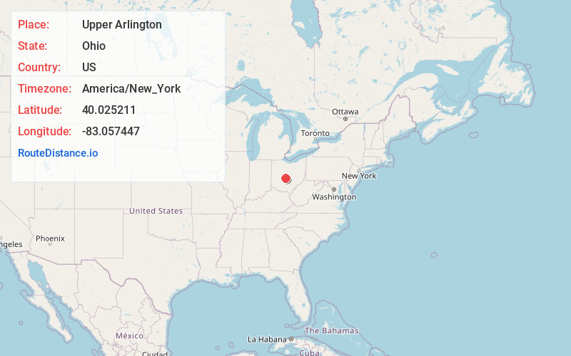
Full AddressUpper Arlington, OH
-
Coordinates40.0252111, -83.0574468
-
LocationUpper Arlington , Ohio , US
-
TimezoneAmerica/New_York
-
Current Local Time9:06:55 PM America/New_YorkThursday, June 5, 2025
-
Page Views0
About Upper Arlington
Upper Arlington is a city in Franklin County, Ohio, United States, on the northwest side of the Columbus metropolitan area. As of the 2020 census, the population was 36,800. The Old Arlington neighborhood is listed on the National Register of Historic Places.


Nearby Places
Found 9 places within 50 miles

Columbus
5.2 mi
8.4 km
Columbus, OH
Get directions

Dublin
6.9 mi
11.1 km
Dublin, OH
Get directions

Grove City
10.1 mi
16.3 km
Grove City, OH
Get directions

Reynoldsburg
13.9 mi
22.4 km
Reynoldsburg, OH
Get directions

Delaware
18.9 mi
30.4 km
Delaware, OH 43015
Get directions

Lancaster
32.4 mi
52.1 km
Lancaster, OH 43130
Get directions

Newark
34.8 mi
56.0 km
Newark, OH
Get directions

Marion
39.1 mi
62.9 km
Marion, OH 43302
Get directions

Springfield
40.5 mi
65.2 km
Springfield, OH
Get directions
Location Links
Local Weather
Weather Information
Coming soon!
Location Map
Static map view of Upper Arlington, Ohio
Browse Places by Distance
Places within specific distances from Upper Arlington
Short Distances
Long Distances
Click any distance to see all places within that range from Upper Arlington. Distances shown in miles (1 mile ≈ 1.61 kilometers).