Distance to Whitehall, Ohio

Calculating Your Route
Just a moment while we process your request...
Location Information
-
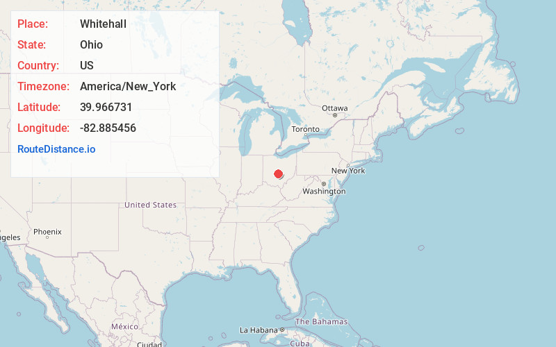
Full AddressWhitehall, OH
-
Coordinates39.9667308, -82.8854559
-
LocationWhitehall , Ohio , US
-
TimezoneAmerica/New_York
-
Current Local Time4:55:18 PM America/New_YorkWednesday, June 18, 2025
-
Page Views0
About Whitehall
Whitehall is a city in Franklin County, Ohio, United States. Located 6 miles east of the state capital of Columbus, Whitehall had a population of 20,127 in the 2020 census. Founded in 1947, Whitehall is a growing suburb of Columbus.


Nearby Places
Found 10 places within 50 miles

Gahanna
3.6 mi
5.8 km
Gahanna, OH
Get directions

Reynoldsburg
4.0 mi
6.4 km
Reynoldsburg, OH
Get directions

Columbus
6.2 mi
10.0 km
Columbus, OH
Get directions

Pickerington
9.0 mi
14.5 km
Pickerington, OH
Get directions

Upper Arlington
10.0 mi
16.1 km
Upper Arlington, OH
Get directions

Westerville
11.3 mi
18.2 km
Westerville, OH
Get directions

Grove City
12.5 mi
20.1 km
Grove City, OH
Get directions

Hilliard
15.2 mi
24.5 km
Hilliard, OH
Get directions

Dublin
16.4 mi
26.4 km
Dublin, OH
Get directions

Lancaster
23.1 mi
37.2 km
Lancaster, OH 43130
Get directions
Location Links
Local Weather
Weather Information
Coming soon!
Location Map
Static map view of Whitehall, Ohio
Browse Places by Distance
Places within specific distances from Whitehall
Short Distances
Long Distances
Click any distance to see all places within that range from Whitehall. Distances shown in miles (1 mile ≈ 1.61 kilometers).