Distance to Millersburg, Ohio

Calculating Your Route
Just a moment while we process your request...
Location Information
-
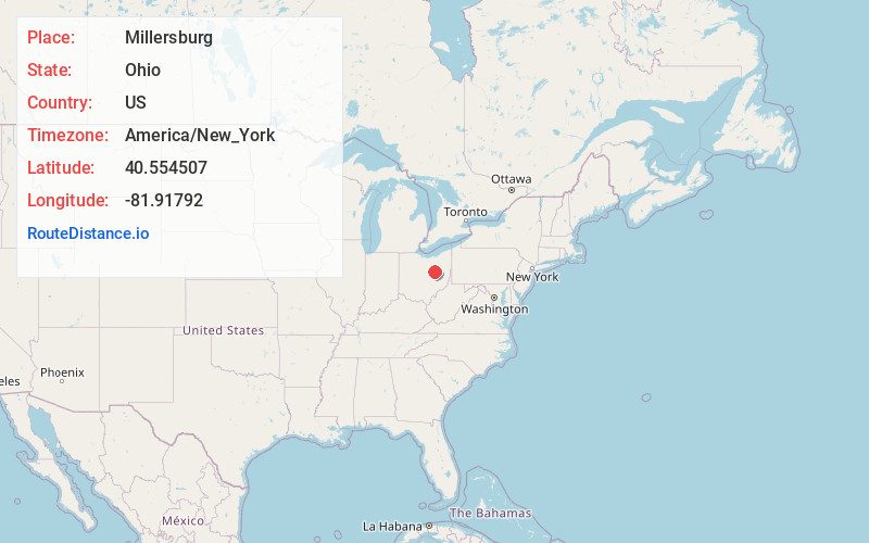
Full AddressMillersburg, OH 44654
-
Coordinates40.5545071, -81.9179198
-
LocationMillersburg , Ohio , US
-
TimezoneAmerica/New_York
-
Current Local Time6:15:04 AM America/New_YorkTuesday, June 24, 2025
-
Website
-
Page Views0
About Millersburg
Millersburg is a village in Holmes County, Ohio, United States, and its county seat. Located 66 miles south of Cleveland, it is in the heart of Ohio's Amish Country and is part of a large regional tourism industry. The population was 3,151 at the 2020 census.


Nearby Places
Found 10 places within 50 miles

Wooster
16.9 mi
27.2 km
Wooster, OH 44691
Get directions

Coshocton
19.8 mi
31.9 km
Coshocton, OH 43812
Get directions

Orrville
21.5 mi
34.6 km
Orrville, OH 44667
Get directions

Dover
23.4 mi
37.7 km
Dover, OH
Get directions

New Philadelphia
25.2 mi
40.6 km
New Philadelphia, OH 44663
Get directions

Newcomerstown
25.5 mi
41.0 km
Newcomerstown, OH 43832
Get directions

Massillon
26.7 mi
43.0 km
Massillon, OH
Get directions

Canal Fulton
28.6 mi
46.0 km
Canal Fulton, OH
Get directions

Perry Heights
28.6 mi
46.0 km
Perry Heights, OH
Get directions

Rittman
30.1 mi
48.4 km
Rittman, OH
Get directions
Location Links
Local Weather
Weather Information
Coming soon!
Location Map
Static map view of Millersburg, Ohio
Browse Places by Distance
Places within specific distances from Millersburg
Short Distances
Long Distances
Click any distance to see all places within that range from Millersburg. Distances shown in miles (1 mile ≈ 1.61 kilometers).