Distance to Coshocton, Ohio

Calculating Your Route
Just a moment while we process your request...
Location Information
-
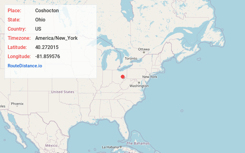
Full AddressCoshocton, OH 43812
-
Coordinates40.2720151, -81.8595756
-
LocationCoshocton , Ohio , US
-
TimezoneAmerica/New_York
-
Current Local Time11:02:44 PM America/New_YorkWednesday, June 18, 2025
-
Website
-
Page Views0
About Coshocton
Coshocton is a city in Coshocton County, Ohio, United States, and its county seat. The population was 11,050 at the 2020 census. It is located approximately 63 miles east-northeast of Columbus. The Walhonding River and the Tuscarawas River meet in Coshocton to form the Muskingum River.


Nearby Places
Found 10 places within 50 miles

Zanesville
24.3 mi
39.1 km
Zanesville, OH 43701
Get directions

New Philadelphia
26.5 mi
42.6 km
New Philadelphia, OH 44663
Get directions

Dover
26.6 mi
42.8 km
Dover, OH
Get directions

Newark
32.2 mi
51.8 km
Newark, OH
Get directions

Mt Vernon
34.0 mi
54.7 km
Mt Vernon, OH 43050
Get directions

Wooster
36.6 mi
58.9 km
Wooster, OH 44691
Get directions

Massillon
40.4 mi
65.0 km
Massillon, OH
Get directions

Canton
44.3 mi
71.3 km
Canton, OH
Get directions

Pataskala
47.1 mi
75.8 km
Pataskala, OH
Get directions

Ashland
47.7 mi
76.8 km
Ashland, OH 44805
Get directions
Location Links
Local Weather
Weather Information
Coming soon!
Location Map
Static map view of Coshocton, Ohio
Browse Places by Distance
Places within specific distances from Coshocton
Short Distances
Long Distances
Click any distance to see all places within that range from Coshocton. Distances shown in miles (1 mile ≈ 1.61 kilometers).