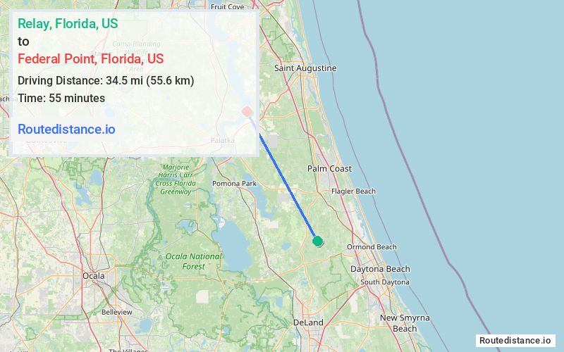
Distance from Relay, Florida to Federal Point, Florida
The driving distance from Relay, Florida to Federal Point, Florida is 45.5 mi (73.2 km)
The straight-line (air) distance is approximately 21.5 mi (34.6 km)
Estimated travel time by road is 56 minutes
We found 3 routes between Relay and Federal Point.
Available Routes
Route Directions
Take FL-11 N, US-1 N and Co Rd 13 to N Main St in Hastings
Take Federal Point Rd to Brubaker Ln in Putnam County
Route Directions
Take FL-11 N, US-1 N, I-95 N and FL-206 W to E St Johns Ave in Hastings
Continue on E St Johns Ave. Take Federal Point Rd to Brubaker Ln in Putnam County
Route Directions
Take Co Rd 305 to FL-20 W/State Rte 100 W
Continue on FL-20 W/State Rte 100 W to Putnam County
Follow Federal Point Rd to Brubaker Ln
Journey Details
Traveling from Relay, Florida to Federal Point, Florida covers 44.4 miles (71 km) in a northwest direction. This mixed highways and local roads, moderate route typically takes 51 minutes under normal conditions.
Drivers have 3 route options between these locations (44-48 miles / 71-77 km). The primary route shown here saves 7 minutes compared to alternatives.
Journey Waypoints
Relay
Starting Point
Federal Point
Destination
Route Map Image