Distance to Federal Point, Florida

Calculating Your Route
Just a moment while we process your request...
Location Information
-
Full AddressFederal Point, FL 32131
-
Coordinates29.74778, -81.54444
-
LocationFederal Point , Florida , US
-
TimezoneAmerica/New_York
-
Current Local Time9:34:19 AM America/New_YorkWednesday, June 18, 2025
-
Page Views0
About Federal Point
Federal Point is an unincorporated community in Putnam County, Florida, United States, located northwest of Hastings, on the eastern bank of the St. Johns River.
Nearby Places
Found 10 places within 50 miles

Bridgeport
1.6 mi
2.6 km
Bridgeport, FL 32177
Get directions

Hastings
3.0 mi
4.8 km
Hastings, FL 32145
Get directions

Spuds
4.4 mi
7.1 km
Spuds, FL 32033
Get directions
Orange Mills
4.7 mi
7.6 km
Orange Mills, FL 32131
Get directions
Patersonville
4.7 mi
7.6 km
Patersonville, FL 32131
Get directions

Bostwick
5.8 mi
9.3 km
Bostwick, FL 32177
Get directions
Tocoi
6.8 mi
10.9 km
Tocoi, FL 32092
Get directions

East Palatka
7.0 mi
11.3 km
East Palatka, FL
Get directions

Elkton
7.5 mi
12.1 km
Elkton, FL 32033
Get directions
Rice Creek
7.8 mi
12.6 km
Rice Creek, FL 32177
Get directions
Location Links
Local Weather
Weather Information
Coming soon!
Location Map
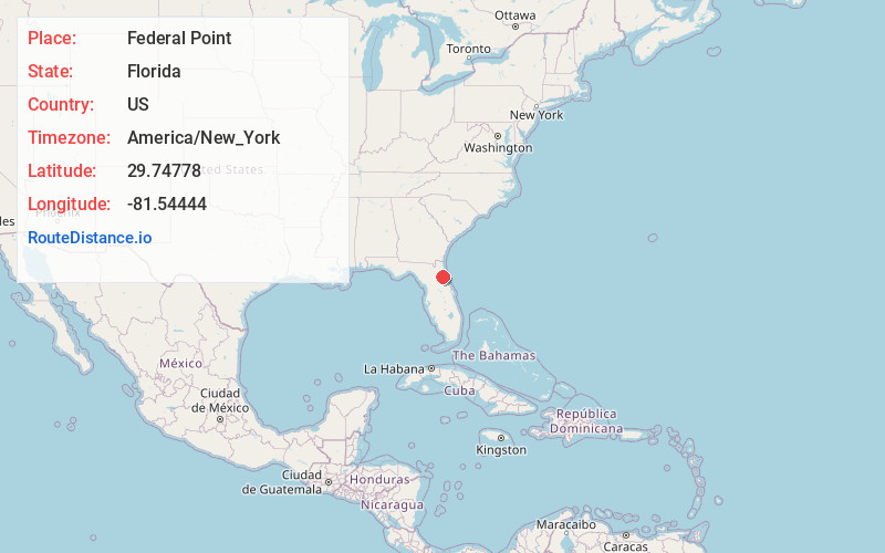
Static map view of Federal Point, Florida
Browse Places by Distance
Places within specific distances from Federal Point
Short Distances
Long Distances
Click any distance to see all places within that range from Federal Point. Distances shown in miles (1 mile ≈ 1.61 kilometers).