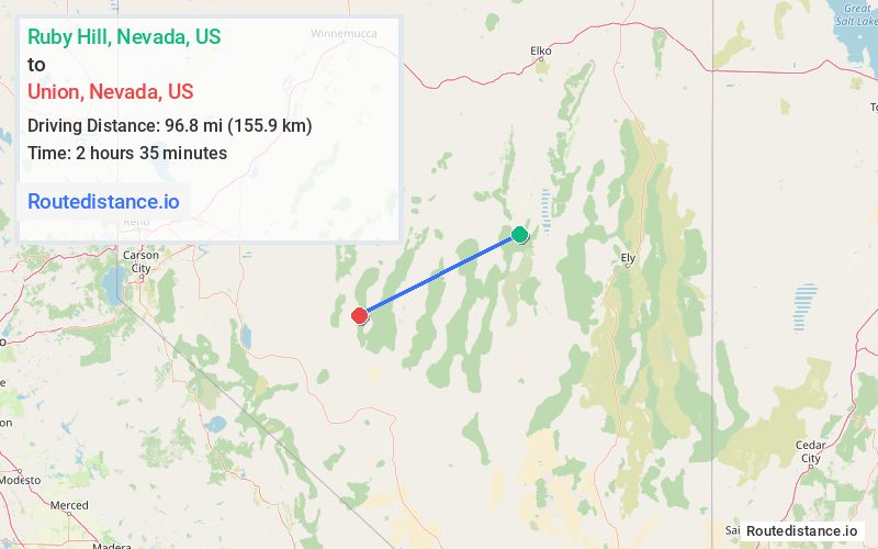
Distance from Ruby Hill, Nevada to Union, Nevada
The driving distance from Ruby Hill, Nevada to Union, Nevada is 184.6 mi (297.1 km)
The straight-line (air) distance is approximately 60.2 mi (96.9 km)
Estimated travel time by road is 3 hours 2 minutes
Route Directions
Take NV-780 E/Ruby Hill Ave to US-50 W/N Main St in Eureka
Follow NV-361 S and NV-844 E to Mcr992955 Rd/National Forest Develop Rd 024 Trail in Nye County
Journey Details
Traveling from Ruby Hill, Nevada to Union, Nevada covers 184.6 miles (297 km) in a west direction. This highway, long-distance route typically takes 3 hours 2 minutes under normal conditions.
The route features scenic views. During evening weekday travel, expect evening rush hour with average speeds around 63 mph (101 km/h) .
Journey Waypoints
Ruby Hill
Starting Point
Union
Destination
Route Map Image