Distance to Ruby Hill, Nevada

Calculating Your Route
Just a moment while we process your request...
Location Information
-
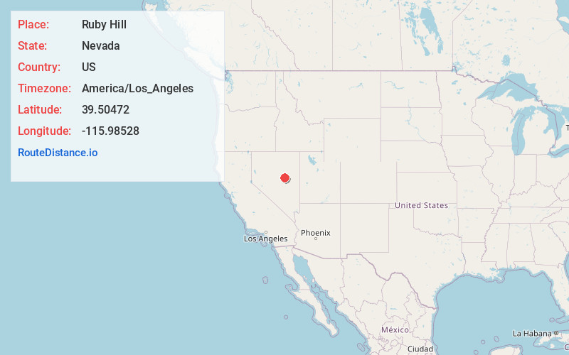
Full AddressRuby Hill, NV 89316
-
Coordinates39.50472, -115.98528
-
LocationRuby Hill , Nevada , US
-
TimezoneAmerica/Los_Angeles
-
Current Local Time3:43:58 PM America/Los_AngelesWednesday, June 18, 2025
-
Page Views0
About Ruby Hill
Ruby Hill is a ghost town in Eureka County, in the central part of the U.S. state of Nevada, approximately 2.6 mi west of the town of Eureka, Nevada. In 1910, the Ruby Hill Railroad was washed out, after which there were only three businesses in town.


Nearby Places
Found 8 places within 50 miles

Eureka
1.4 mi
2.3 km
Eureka, NV 89316
Get directions

Hamilton
31.9 mi
51.3 km
Hamilton, NV
Get directions

Bull Fork
32.0 mi
51.5 km
Bull Fork, NV
Get directions
Shermantown
33.1 mi
53.3 km
Shermantown, NV
Get directions
Eberhardt
34.4 mi
55.4 km
Eberhardt, NV
Get directions
Alpha
36.6 mi
58.9 km
Alpha, NV 89316
Get directions
Duckwater
42.2 mi
67.9 km
Duckwater, NV 89314
Get directions
Shannon
42.7 mi
68.7 km
Shannon, NV
Get directions
Location Links
Local Weather
Weather Information
Coming soon!
Location Map
Static map view of Ruby Hill, Nevada
Browse Places by Distance
Places within specific distances from Ruby Hill
Short Distances
Long Distances
Click any distance to see all places within that range from Ruby Hill. Distances shown in miles (1 mile ≈ 1.61 kilometers).