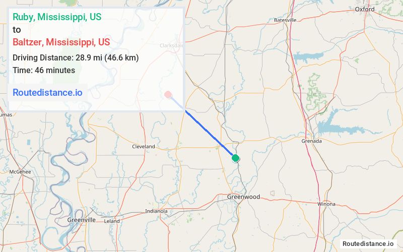
Distance from Ruby, Mississippi to Baltzer, Mississippi
The driving distance from Ruby, Mississippi to Baltzer, Mississippi is 60.7 mi (97.7 km)
The straight-line (air) distance is approximately 18 mi (28.9 km)
Estimated travel time by road is 1 hour 6 minutes
We found 3 routes between Ruby and Baltzer.
Available Routes
Route Directions
Take Money Rd and MS-8 W to US-49E N in Minter City
Follow US-49E N and US 49 N to New Africa Rd in Clarksdale. Take the New Africa Rd exit from US-278 W/US-61 S/Memorial Dr
Follow New Africa Rd to Lombardy Rd in Sunflower County
Route Directions
Route Directions
Follow Co Rd 518 and Money Rd to MS-8 W in Tallahatchie County
Continue on MS-8 W to Drew
Drive to Lombardy Rd
Journey Details
Traveling from Ruby, Mississippi to Baltzer, Mississippi covers 44.9 miles (72 km) in a northwest direction. This mixed highways and local roads, moderate route typically takes 54 minutes under normal conditions.
Drivers have 3 route options between these locations (45-61 miles / 72-98 km). The primary route shown here saves 13 minutes compared to alternatives.
The route features scenic views. During night weekday travel, expect minimal traffic congestion with average speeds around 47 mph (76 km/h) .
Journey Waypoints
Ruby
Starting Point
Baltzer
Destination
Route Map Image