Distance to Ruby, Mississippi

Calculating Your Route
Just a moment while we process your request...
Location Information
-
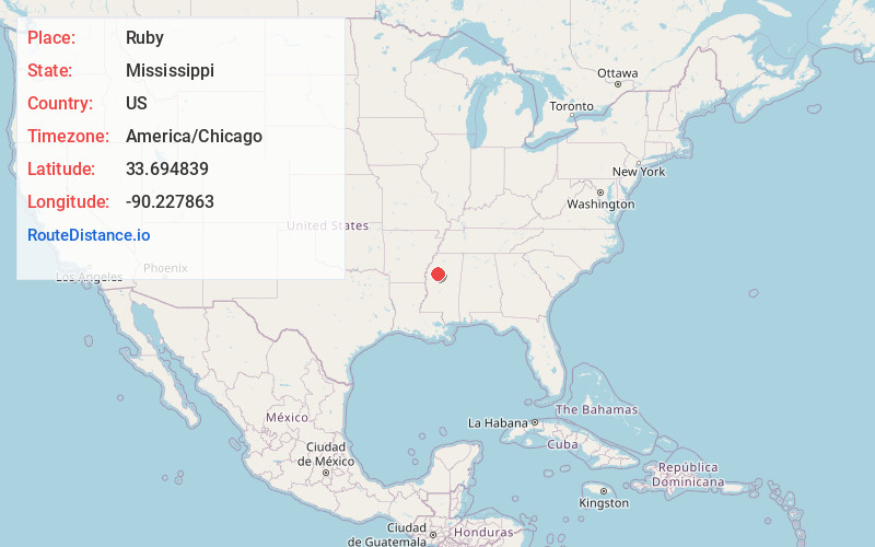
Full AddressRuby, MS 38952
-
Coordinates33.6948391, -90.2278634
-
LocationMississippi , US
-
TimezoneAmerica/Chicago
-
Current Local Time8:02:18 AM America/ChicagoMonday, June 23, 2025
-
Page Views0
About Ruby
Ruby, is an unincorporated community in Leflore County, Mississippi. Ruby is located near the Tallahatchie River, 12.5 miles north-northwest of Greenwood, 3.3 miles north of Money and 6.6 miles south-southwest of Philipp.
Ruby is located on the Canadian National Railway.
Nearby Places
Found 10 places within 50 miles

Sandy Ridge
1.3 mi
2.1 km
Sandy Ridge, MS 38950
Get directions
Money
3.2 mi
5.1 km
Money, MS 38930
Get directions
Sunnyside
3.9 mi
6.3 km
Sunnyside, MS 38950
Get directions

Philipp
4.6 mi
7.4 km
Philipp, MS 38950
Get directions
Wildwood
5.3 mi
8.5 km
Wildwood, MS 38930
Get directions
Wakeland
5.5 mi
8.9 km
Wakeland, MS 38930
Get directions
Minter City
5.6 mi
9.0 km
Minter City, MS 38944
Get directions
Shellmound
6.8 mi
10.9 km
Shellmound, MS 38930
Get directions
Somerville
7.1 mi
11.4 km
Somerville, MS 38944
Get directions
Craigside
7.6 mi
12.2 km
Craigside, MS 38930
Get directions
Location Links
Local Weather
Weather Information
Coming soon!
Location Map
Static map view of Ruby, Mississippi
Browse Places by Distance
Places within specific distances from Ruby
Short Distances
Long Distances
Click any distance to see all places within that range from Ruby. Distances shown in miles (1 mile ≈ 1.61 kilometers).